Heat wave occuring from March 07 2026 to March 09 2026 at 53.0°N 79.5°E

Download data: JSON

Event type: Heat wave

Countries affected (identified with ArcGIS Online; provided only for geographical reference):

  • Kazakhstan
  • Russian Federation

Duration: 3 days

Time span: March 07 2026 to March 09 2026

Statistics over entire affected area:

  • Mean temperature anomaly: 8.8 °C
  • Mean temperature: -0.8 °C
  • Maximum temperature anomaly: 10.4 °C
  • Maximum temperature: 1.9 °C

Event center: 53.0°N 79.5°E

Area affected: 68996 km$^2$


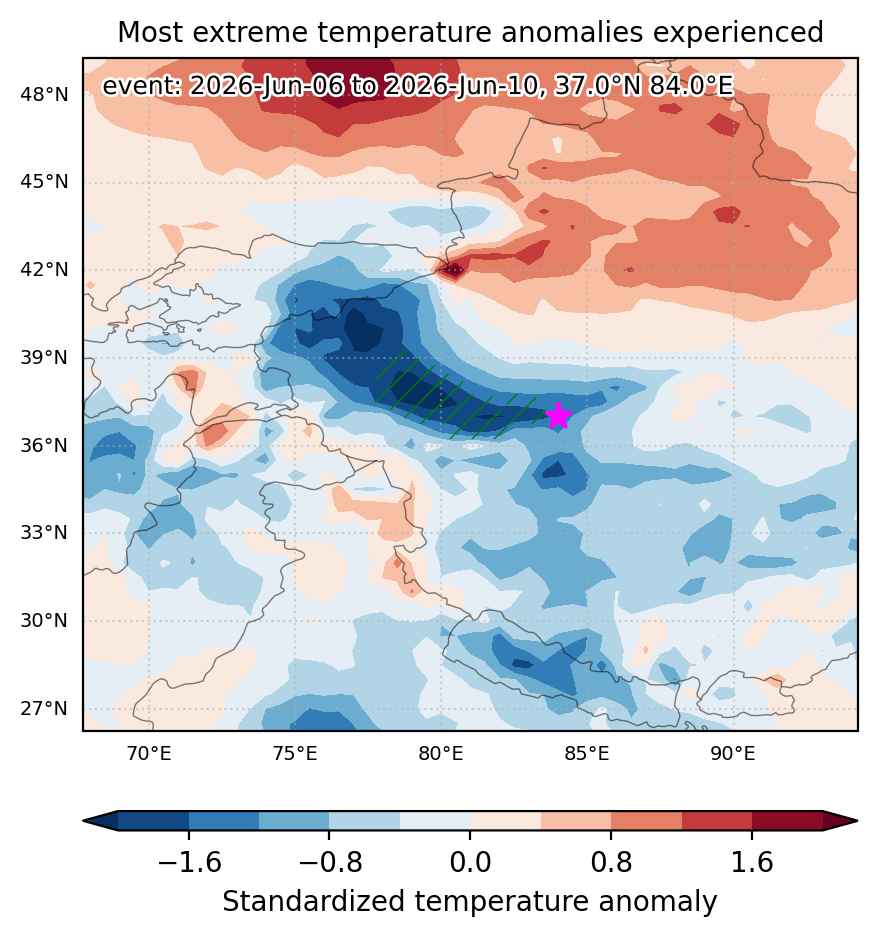
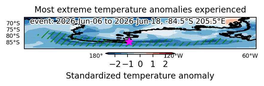
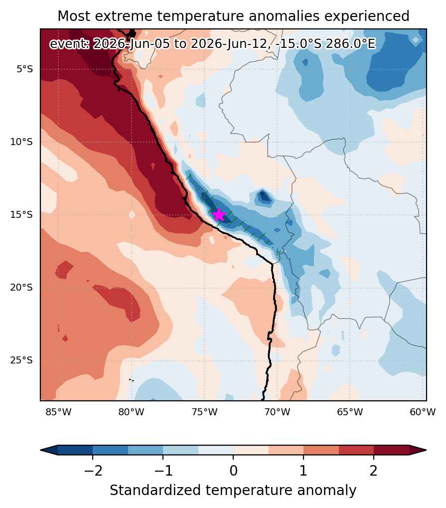
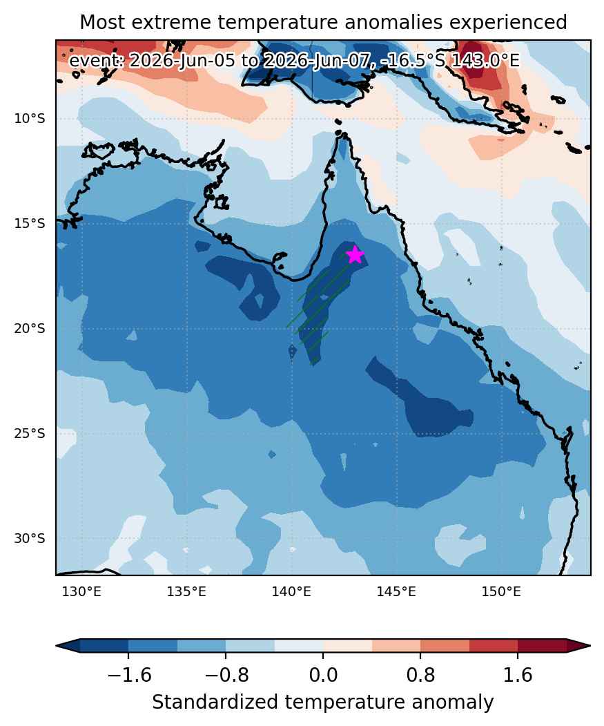
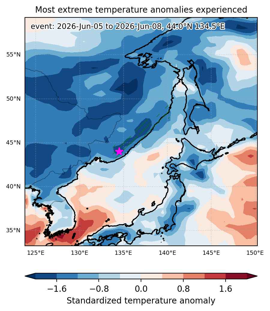
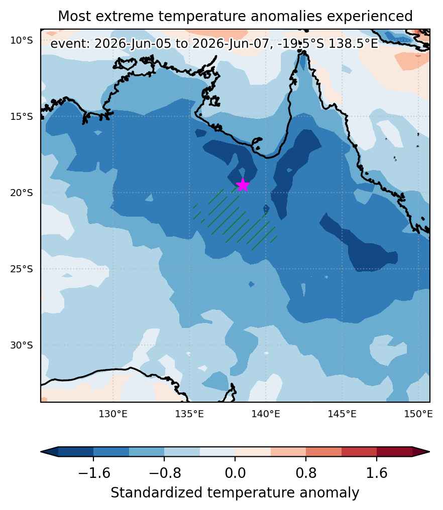
Fig. 1: Map of most extreme temperature anomalies (standardized) experienced during the event. The purple star indicates the center of the extreme event. Green hatching illustrates all areas under the effect of extremes at some time during the event.


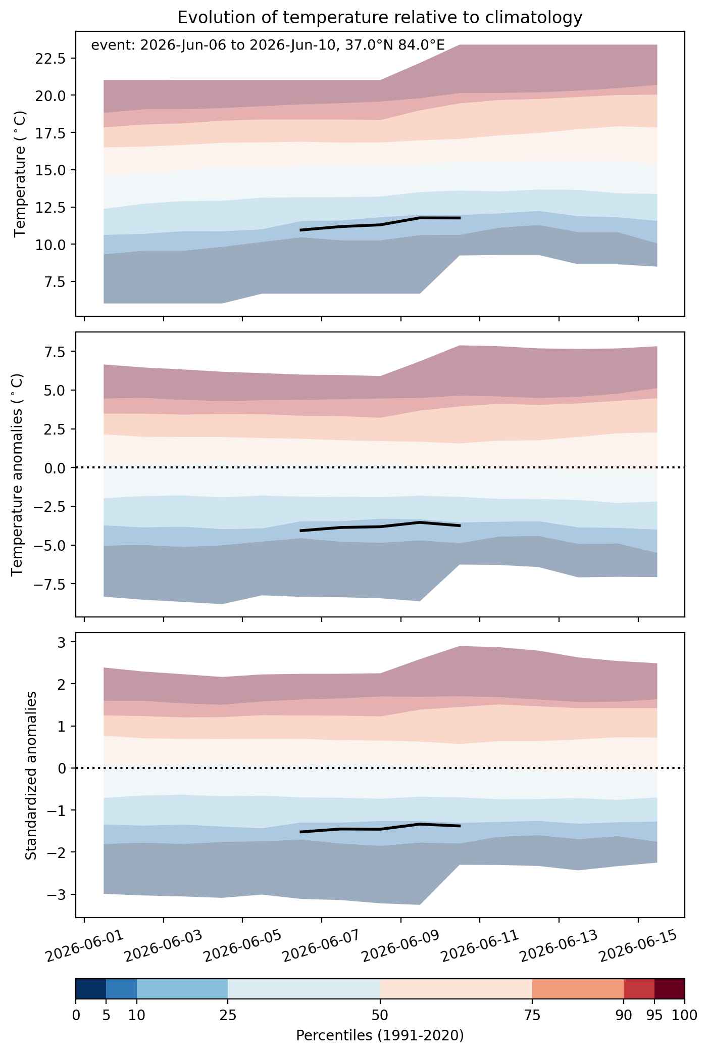
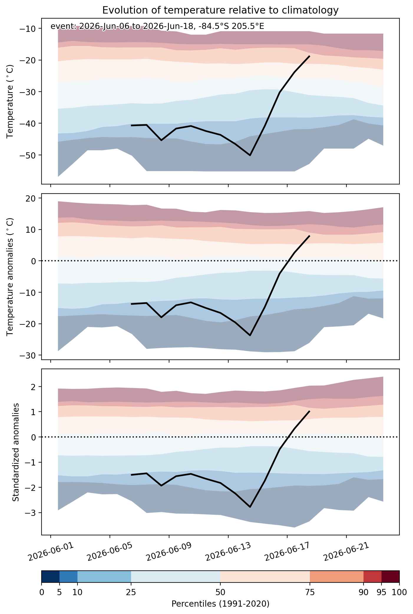
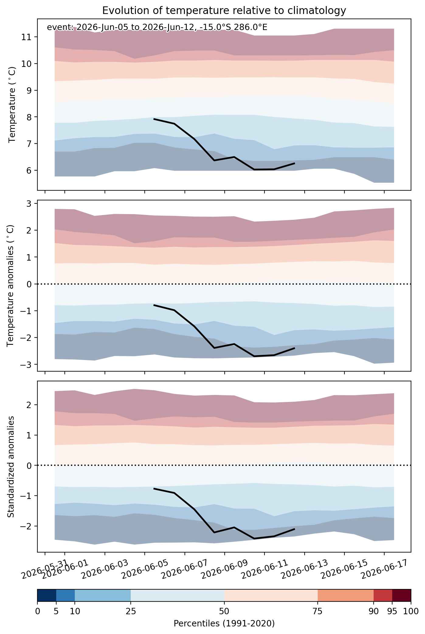
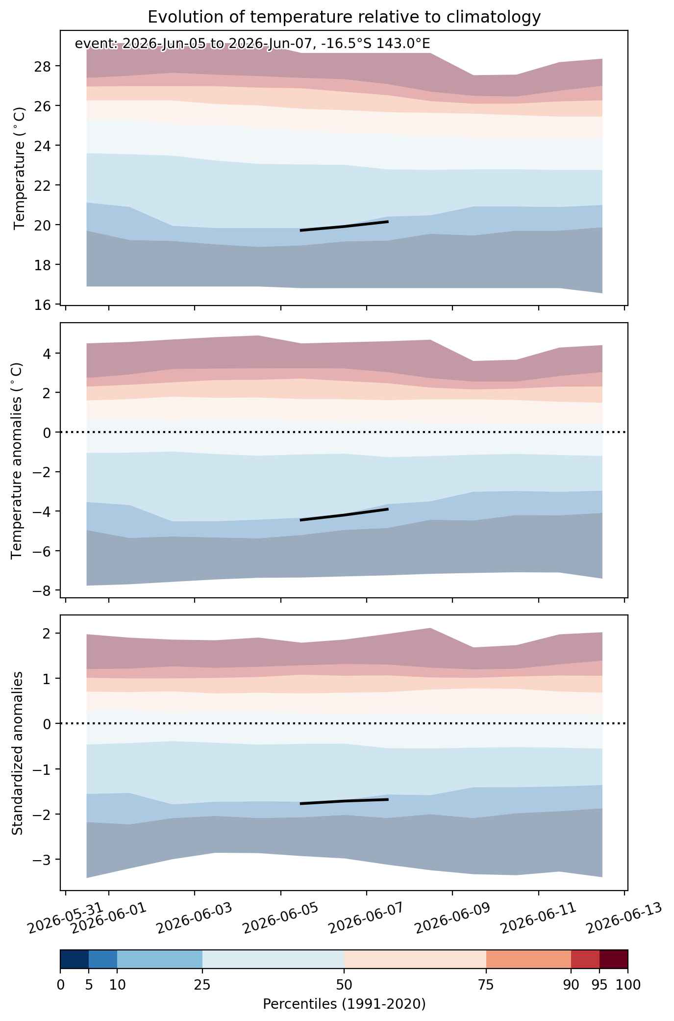
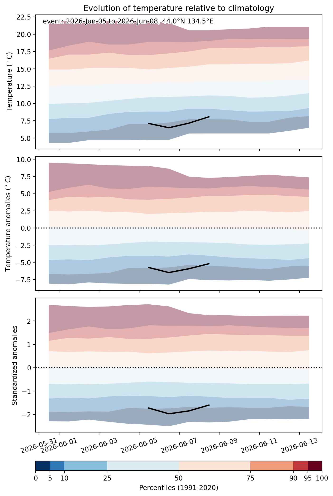
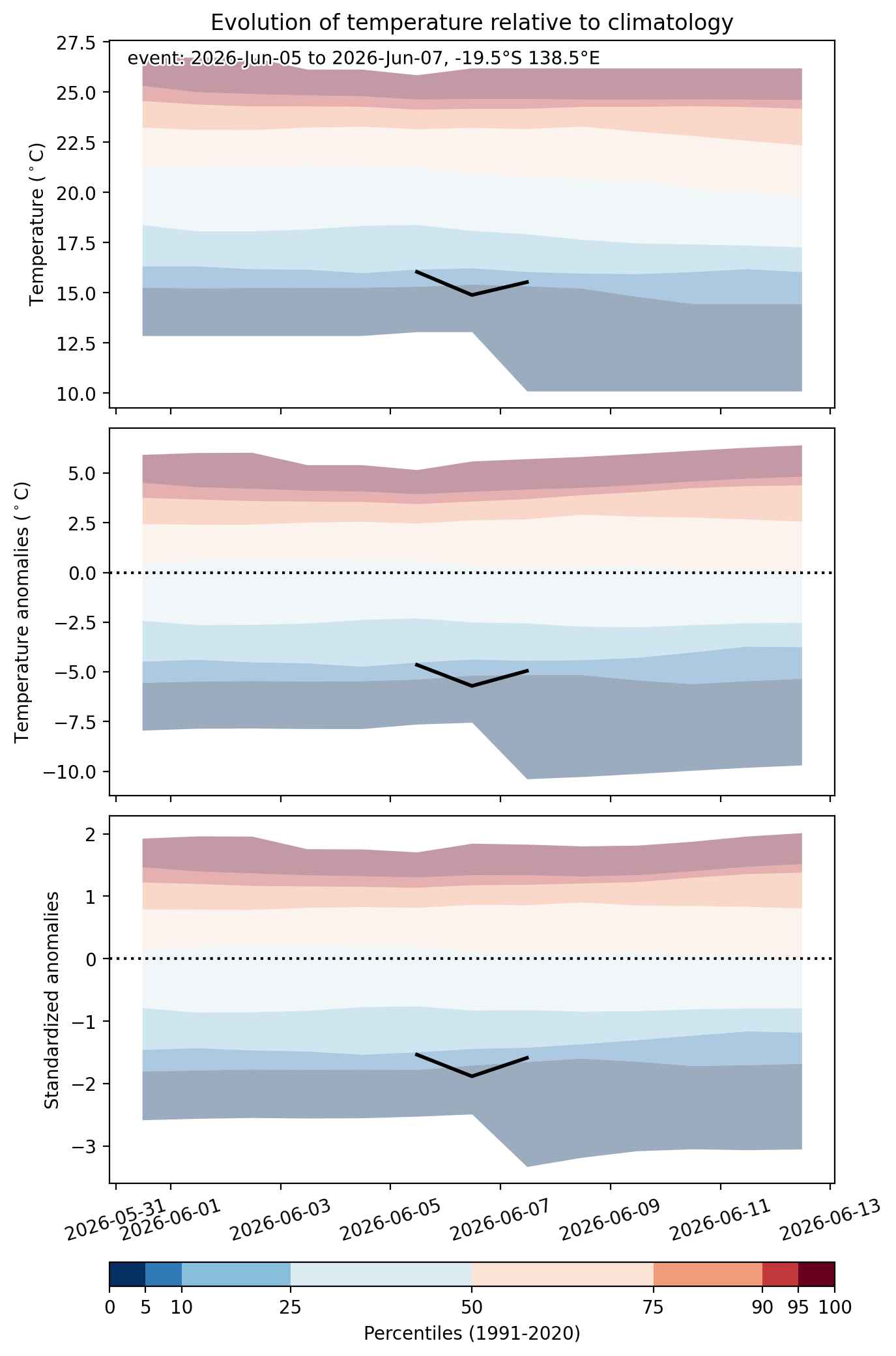
Fig. 2: Evolution of temperature at the center of the event. The climatological percentile distribution is illustrated with color shadings.


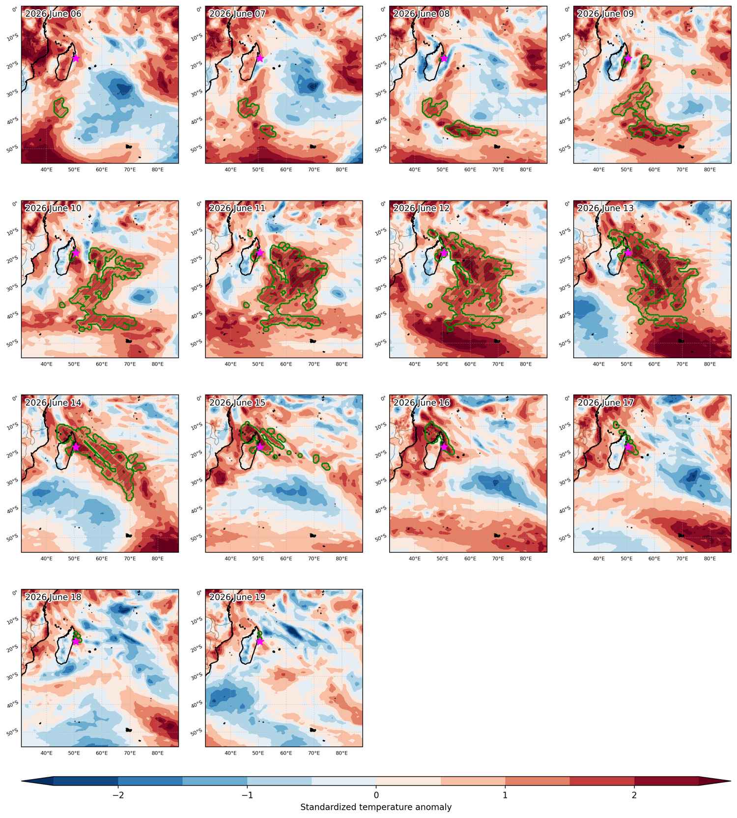
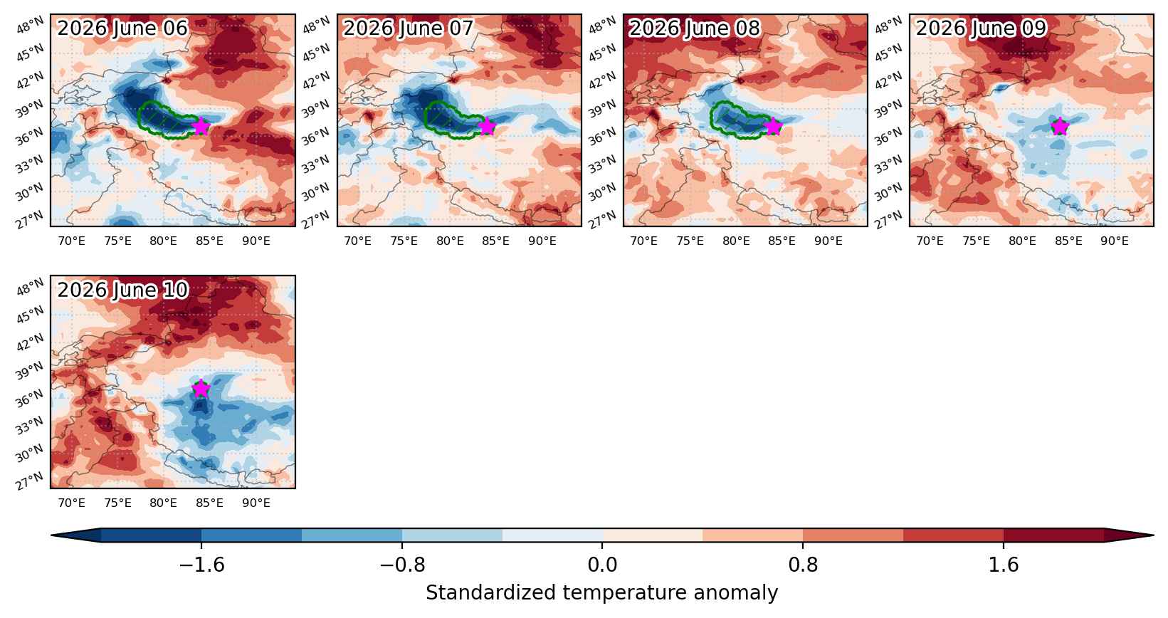
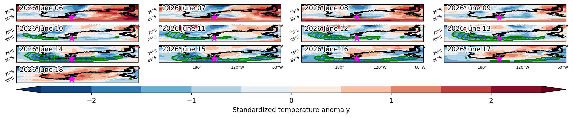
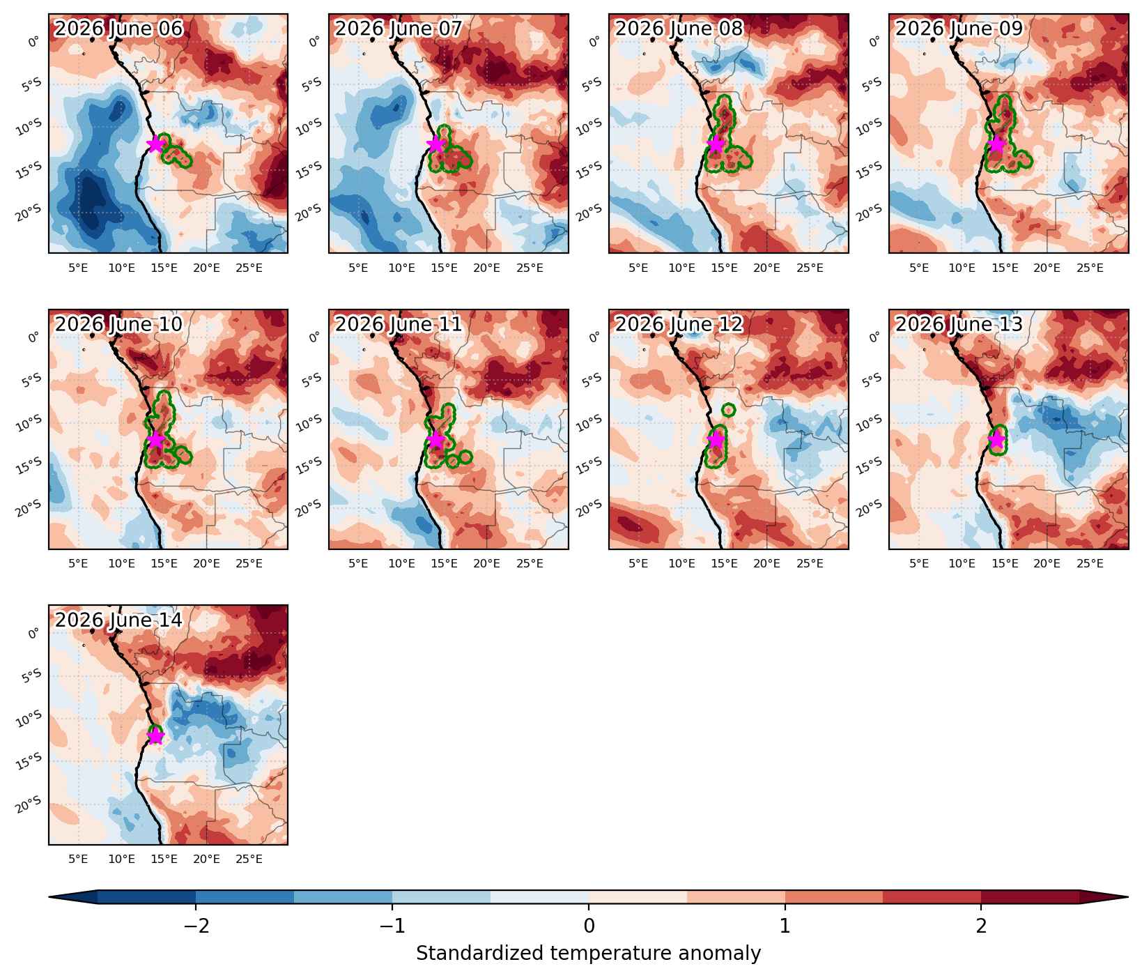
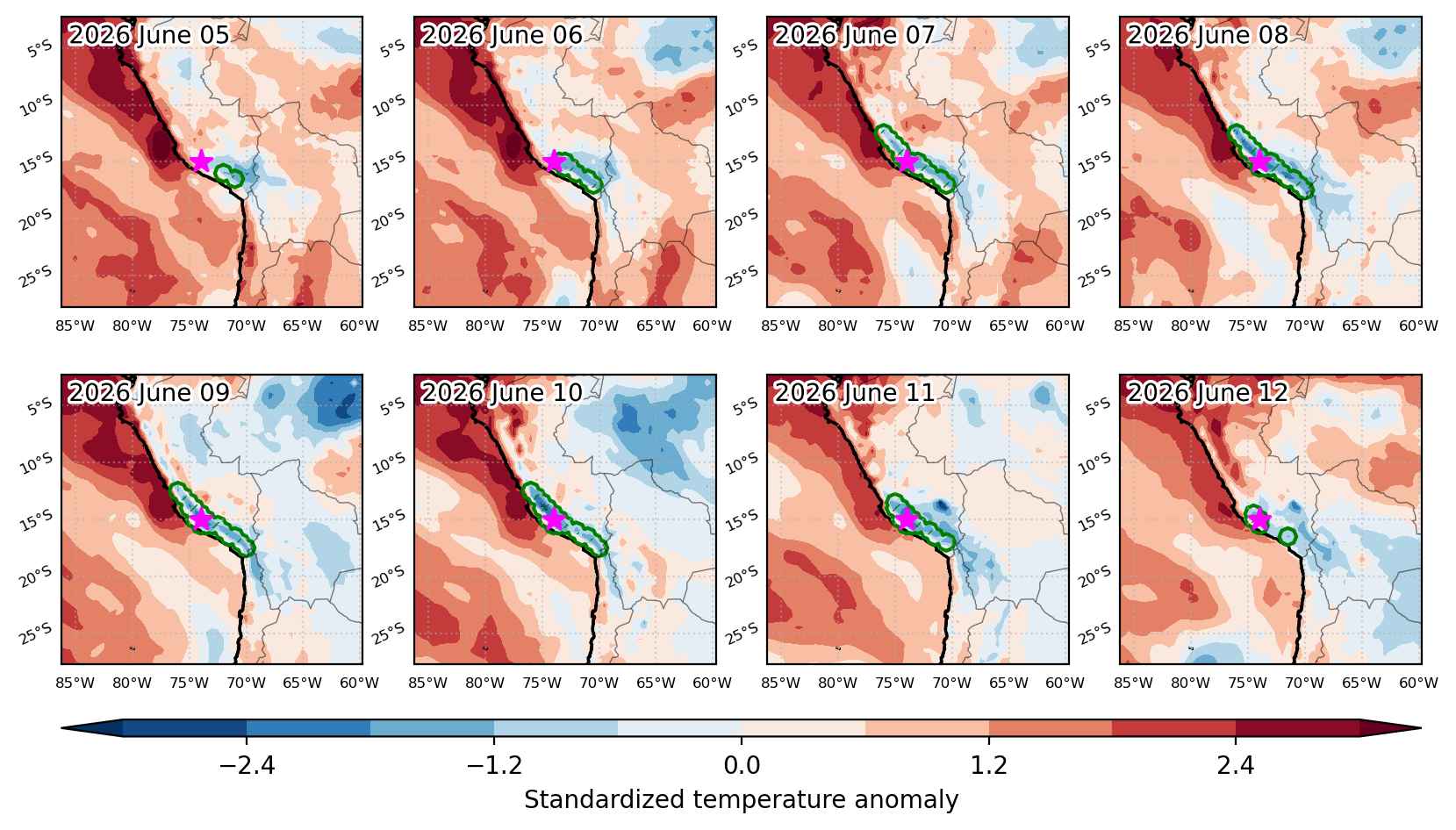
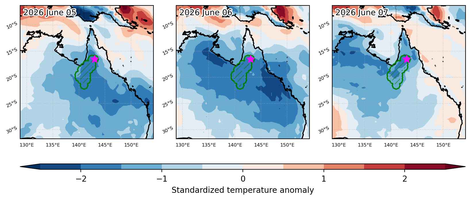
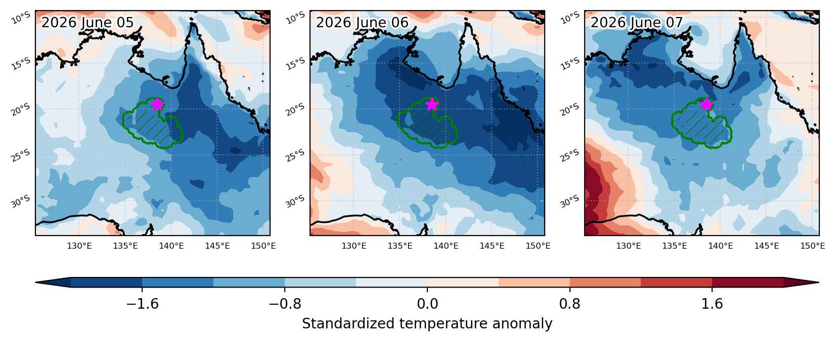
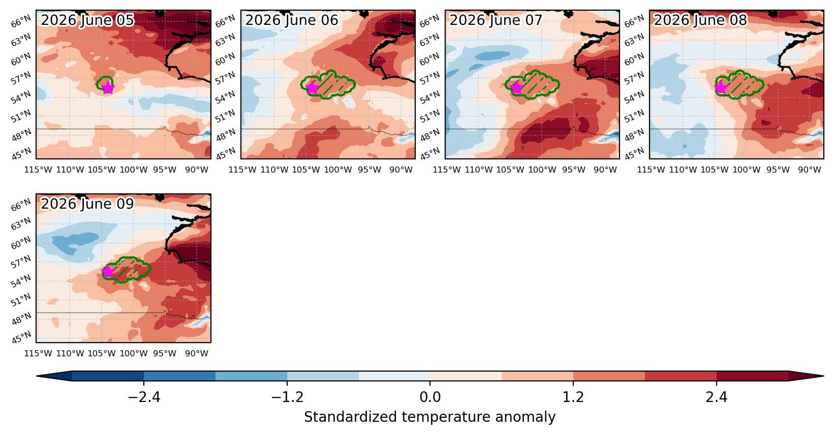
Fig. 3: Maps illustrating the evolution of standardized temperature anomalies during the event.

Event ID: Heat_wave_2026-Mar-07_to_2026-Mar-09_79.5_53.0

Heat wave occuring from March 07 2026 to March 10 2026 at 13.5°N 358.5°E

Download data: JSON

Event type: Heat wave

Countries affected (identified with ArcGIS Online; provided only for geographical reference):

  • Burkina Faso
  • Mali

Duration: 4 days

Time span: March 07 2026 to March 10 2026

Statistics over entire affected area:

  • Mean temperature anomaly: 3.8 °C
  • Mean temperature: 33.1 °C
  • Maximum temperature anomaly: 5.2 °C
  • Maximum temperature: 34.6 °C

Event center: 13.5°N 358.5°E

Area affected: 119882 km$^2$


Fig. 1: Map of most extreme temperature anomalies (standardized) experienced during the event. The purple star indicates the center of the extreme event. Green hatching illustrates all areas under the effect of extremes at some time during the event.


Fig. 2: Evolution of temperature at the center of the event. The climatological percentile distribution is illustrated with color shadings.


Fig. 3: Maps illustrating the evolution of standardized temperature anomalies during the event.

Event ID: Heat_wave_2026-Mar-07_to_2026-Mar-10_358.5_13.5

Heat wave occuring from March 07 2026 to March 13 2026 at 0.0°N 102.0°E

Download data: JSON

Event type: Heat wave

Countries affected (identified with ArcGIS Online; provided only for geographical reference):

  • Indonesia

Duration: 7 days

Time span: March 07 2026 to March 13 2026

Statistics over entire affected area:

  • Mean temperature anomaly: 1.4 °C
  • Mean temperature: 27.8 °C
  • Maximum temperature anomaly: 2.5 °C
  • Maximum temperature: 29.0 °C

Event center: 0.0°N 102.0°E

Area affected: 98830 km$^2$


Fig. 1: Map of most extreme temperature anomalies (standardized) experienced during the event. The purple star indicates the center of the extreme event. Green hatching illustrates all areas under the effect of extremes at some time during the event.


Fig. 2: Evolution of temperature at the center of the event. The climatological percentile distribution is illustrated with color shadings.


Fig. 3: Maps illustrating the evolution of standardized temperature anomalies during the event.

Event ID: Heat_wave_2026-Mar-07_to_2026-Mar-13_102.0_0.0

Heat wave occuring from March 06 2026 to March 17 2026 at 39.0°N 19.0°E

Download data: JSON

Event type: Heat wave

Countries affected (identified with ArcGIS Online; provided only for geographical reference):

  • Albania

Duration: 12 days

Time span: March 06 2026 to March 17 2026

Statistics over entire affected area:

  • Mean temperature anomaly: 2.0 °C
  • Mean temperature: 15.3 °C
  • Maximum temperature anomaly: 3.7 °C
  • Maximum temperature: 16.1 °C

Event center: 39.0°N 19.0°E

Area affected: 148734 km$^2$


Fig. 1: Map of most extreme temperature anomalies (standardized) experienced during the event. The purple star indicates the center of the extreme event. Green hatching illustrates all areas under the effect of extremes at some time during the event.


Fig. 2: Evolution of temperature at the center of the event. The climatological percentile distribution is illustrated with color shadings.


Fig. 3: Maps illustrating the evolution of standardized temperature anomalies during the event.

Event ID: Heat_wave_2026-Mar-06_to_2026-Mar-17_19.0_39.0

Heat wave occuring from March 06 2026 to March 15 2026 at 1.5°N 22.0°E

Download data: JSON

Event type: Heat wave

Countries affected (identified with ArcGIS Online; provided only for geographical reference):

  • Central African Republic
  • Congo
  • Congo DRC

Duration: 10 days

Time span: March 06 2026 to March 15 2026

Statistics over entire affected area:

  • Mean temperature anomaly: 2.5 °C
  • Mean temperature: 29.0 °C
  • Maximum temperature anomaly: 4.6 °C
  • Maximum temperature: 31.9 °C

Event center: 1.5°N 22.0°E

Area affected: 561646 km$^2$


Fig. 1: Map of most extreme temperature anomalies (standardized) experienced during the event. The purple star indicates the center of the extreme event. Green hatching illustrates all areas under the effect of extremes at some time during the event.


Fig. 2: Evolution of temperature at the center of the event. The climatological percentile distribution is illustrated with color shadings.


Fig. 3: Maps illustrating the evolution of standardized temperature anomalies during the event.

Event ID: Heat_wave_2026-Mar-06_to_2026-Mar-15_22.0_1.5

Heat wave occuring from March 05 2026 to March 09 2026 at 22.5°N 98.5°E

Download data: JSON

Event type: Heat wave

Countries affected (identified with ArcGIS Online; provided only for geographical reference):

  • China
  • Myanmar

Duration: 5 days

Time span: March 05 2026 to March 09 2026

Statistics over entire affected area:

  • Mean temperature anomaly: 2.5 °C
  • Mean temperature: 23.0 °C
  • Maximum temperature anomaly: 3.6 °C
  • Maximum temperature: 26.7 °C

Event center: 22.5°N 98.5°E

Area affected: 51653 km$^2$


Fig. 1: Map of most extreme temperature anomalies (standardized) experienced during the event. The purple star indicates the center of the extreme event. Green hatching illustrates all areas under the effect of extremes at some time during the event.


Fig. 2: Evolution of temperature at the center of the event. The climatological percentile distribution is illustrated with color shadings.


Fig. 3: Maps illustrating the evolution of standardized temperature anomalies during the event.

Event ID: Heat_wave_2026-Mar-05_to_2026-Mar-09_98.5_22.5

Heat wave occuring from March 05 2026 to March 14 2026 at 10.5°N 349.0°E

Download data: JSON

Event type: Heat wave

Countries affected (identified with ArcGIS Online; provided only for geographical reference):

  • Guinea
  • Mali
  • Senegal
  • Sierra Leone

Duration: 10 days

Time span: March 05 2026 to March 14 2026

Statistics over entire affected area:

  • Mean temperature anomaly: 2.2 °C
  • Mean temperature: 32.0 °C
  • Maximum temperature anomaly: 3.8 °C
  • Maximum temperature: 35.0 °C

Event center: 10.5°N 349.0°E

Area affected: 163417 km$^2$


Fig. 1: Map of most extreme temperature anomalies (standardized) experienced during the event. The purple star indicates the center of the extreme event. Green hatching illustrates all areas under the effect of extremes at some time during the event.


Fig. 2: Evolution of temperature at the center of the event. The climatological percentile distribution is illustrated with color shadings.


Fig. 3: Maps illustrating the evolution of standardized temperature anomalies during the event.

Event ID: Heat_wave_2026-Mar-05_to_2026-Mar-14_349.0_10.5

Heat wave occuring from March 05 2026 to March 07 2026 at -44.5°S 171.0°E

Download data: JSON

Event type: Heat wave

Countries affected (identified with ArcGIS Online; provided only for geographical reference):

  • New Zealand

Duration: 3 days

Time span: March 05 2026 to March 07 2026

Statistics over entire affected area:

  • Mean temperature anomaly: 4.3 °C
  • Mean temperature: 16.6 °C
  • Maximum temperature anomaly: 6.5 °C
  • Maximum temperature: 19.1 °C

Event center: -44.5°S 171.0°E

Area affected: 54616 km$^2$


Fig. 1: Map of most extreme temperature anomalies (standardized) experienced during the event. The purple star indicates the center of the extreme event. Green hatching illustrates all areas under the effect of extremes at some time during the event.


Fig. 2: Evolution of temperature at the center of the event. The climatological percentile distribution is illustrated with color shadings.


Fig. 3: Maps illustrating the evolution of standardized temperature anomalies during the event.

Event ID: Heat_wave_2026-Mar-05_to_2026-Mar-07_171.0_-44.5

Heat wave occuring from March 04 2026 to March 10 2026 at 33.0°N 15.0°E

Download data: JSON

Event type: Heat wave

Countries affected (identified with ArcGIS Online; provided only for geographical reference):

  • Libya

Duration: 7 days

Time span: March 04 2026 to March 10 2026

Statistics over entire affected area:

  • Mean temperature anomaly: 2.5 °C
  • Mean temperature: 17.9 °C
  • Maximum temperature anomaly: 6.3 °C
  • Maximum temperature: 22.3 °C

Event center: 33.0°N 15.0°E

Area affected: 96171 km$^2$


Fig. 1: Map of most extreme temperature anomalies (standardized) experienced during the event. The purple star indicates the center of the extreme event. Green hatching illustrates all areas under the effect of extremes at some time during the event.


Fig. 2: Evolution of temperature at the center of the event. The climatological percentile distribution is illustrated with color shadings.


Fig. 3: Maps illustrating the evolution of standardized temperature anomalies during the event.

Event ID: Heat_wave_2026-Mar-04_to_2026-Mar-10_15.0_33.0

Heat wave occuring from March 03 2026 to March 13 2026 at 7.0°N 7.0°E

Download data: JSON

Event type: Heat wave

Countries affected (identified with ArcGIS Online; provided only for geographical reference):

  • Benin
  • Cameroon
  • Nigeria

Duration: 11 days

Time span: March 03 2026 to March 13 2026

Statistics over entire affected area:

  • Mean temperature anomaly: 1.7 °C
  • Mean temperature: 30.3 °C
  • Maximum temperature anomaly: 3.5 °C
  • Maximum temperature: 34.2 °C

Event center: 7.0°N 7.0°E

Area affected: 488319 km$^2$


Fig. 1: Map of most extreme temperature anomalies (standardized) experienced during the event. The purple star indicates the center of the extreme event. Green hatching illustrates all areas under the effect of extremes at some time during the event.


Fig. 2: Evolution of temperature at the center of the event. The climatological percentile distribution is illustrated with color shadings.


Fig. 3: Maps illustrating the evolution of standardized temperature anomalies during the event.

Event ID: Heat_wave_2026-Mar-03_to_2026-Mar-13_7.0_7.0