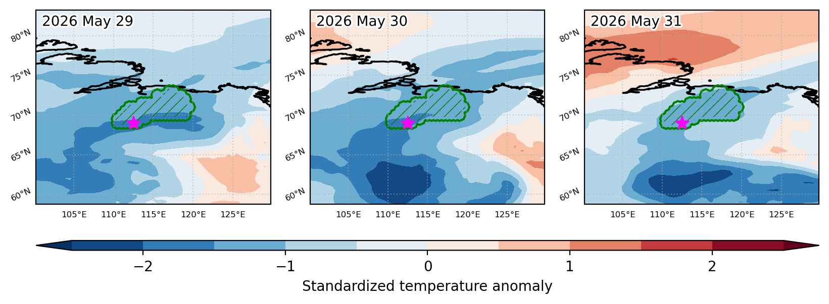
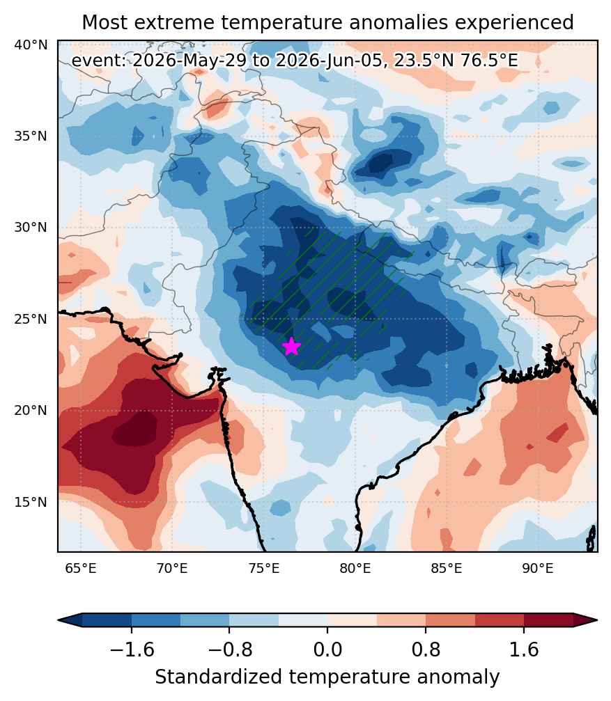
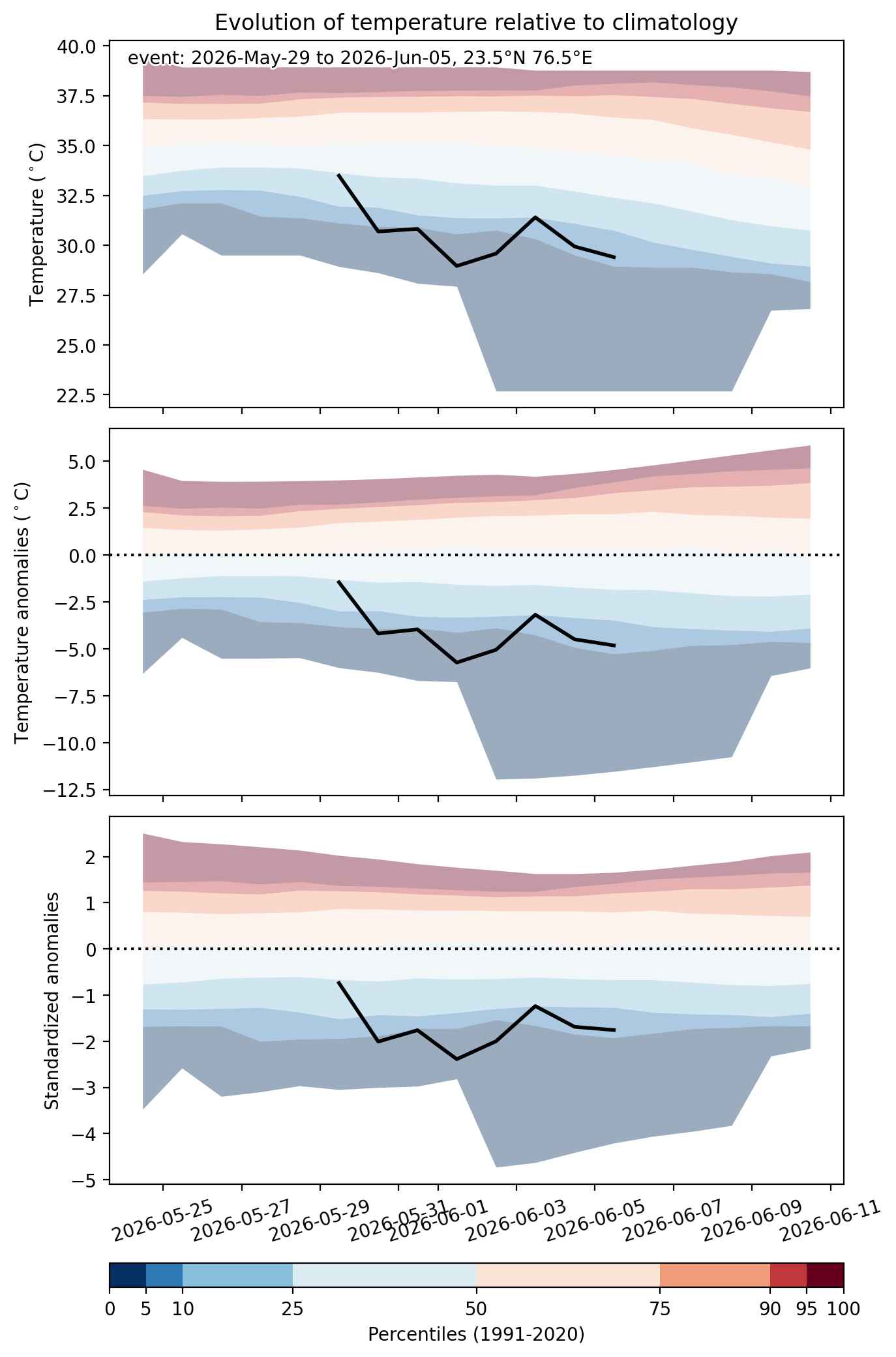
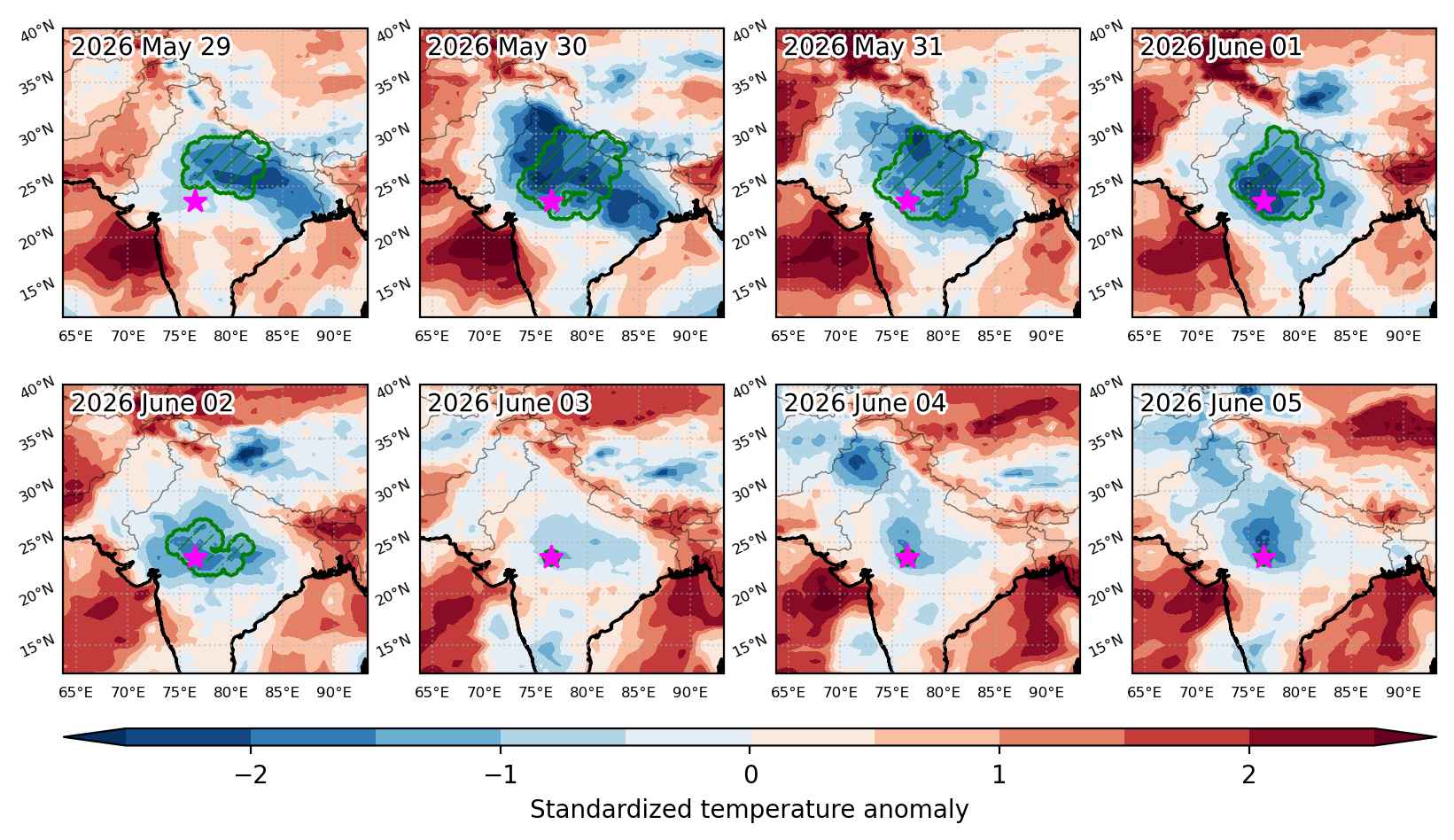
Heat wave occuring from January 21 2026 to January 27 2026 at -12.5°S 288.5°E

Download data: JSON

Event type: Heat wave

Countries affected (identified with ArcGIS Online; provided only for geographical reference):

  • Bolivia
  • Peru

Duration: 7 days

Time span: January 21 2026 to January 27 2026

Statistics over entire affected area:

  • Mean temperature anomaly: 2.1 °C
  • Mean temperature: 24.5 °C
  • Maximum temperature anomaly: 3.6 °C
  • Maximum temperature: 30.0 °C

Event center: -12.5°S 288.5°E

Area affected: 224540 km$^2$


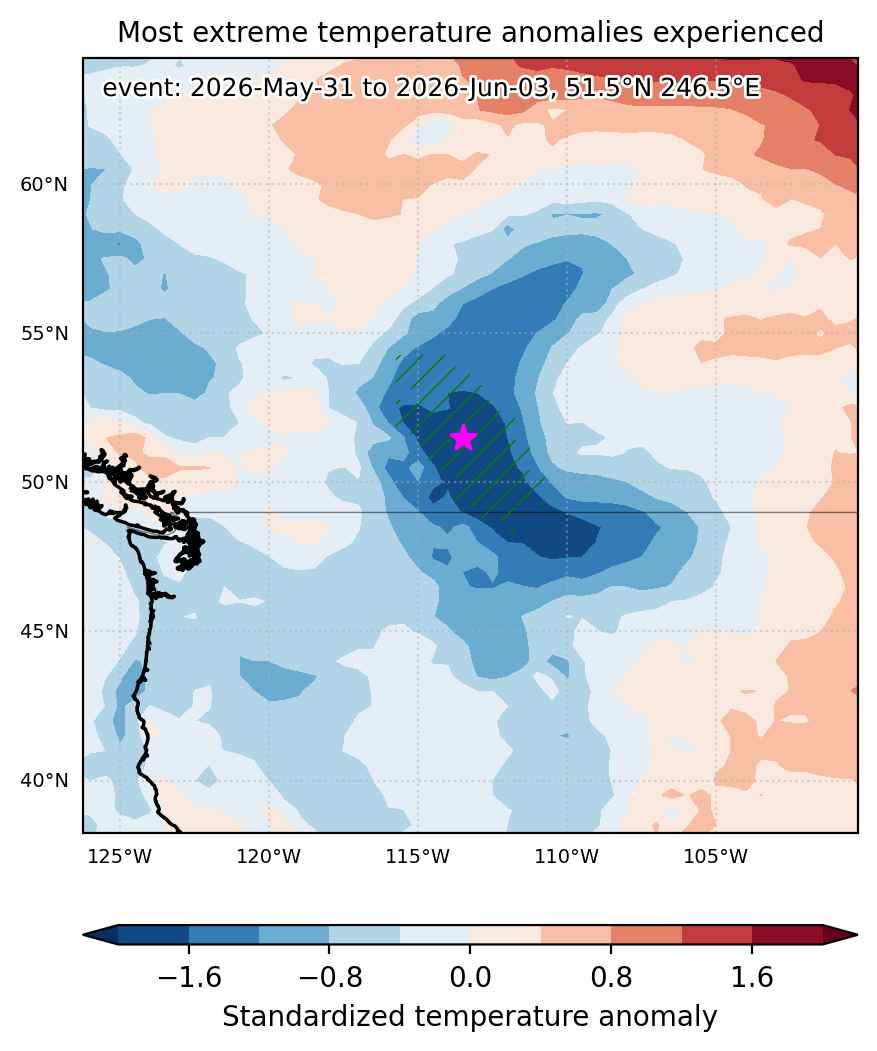
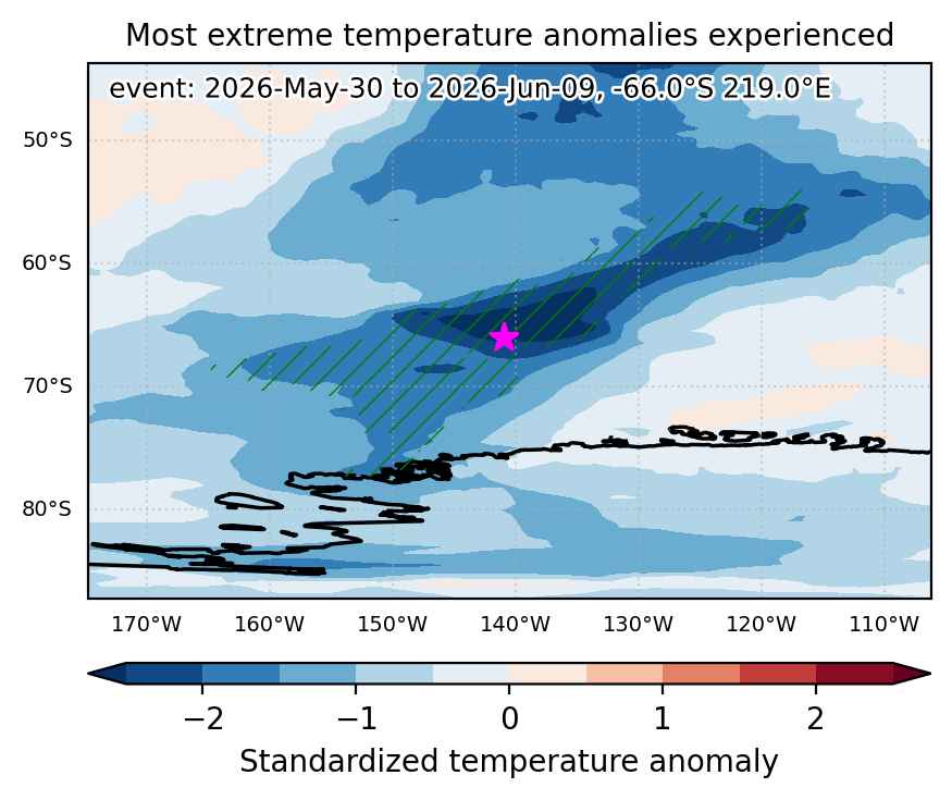
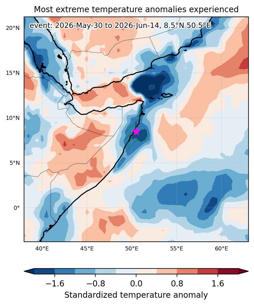
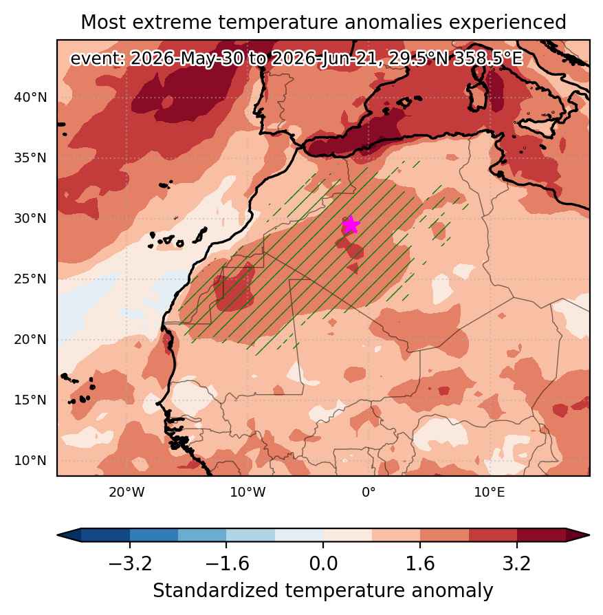
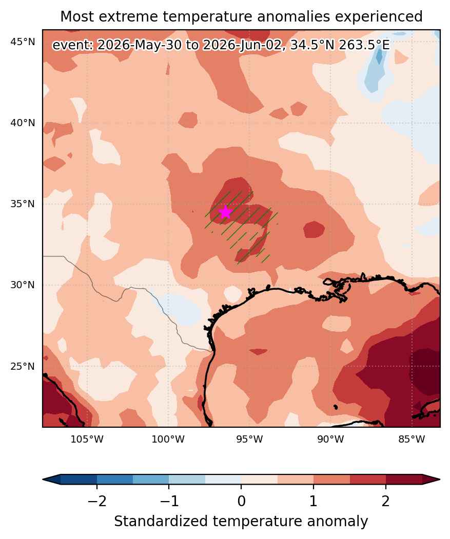
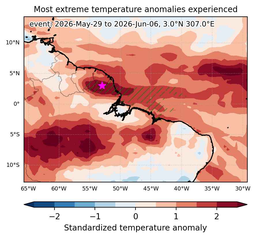
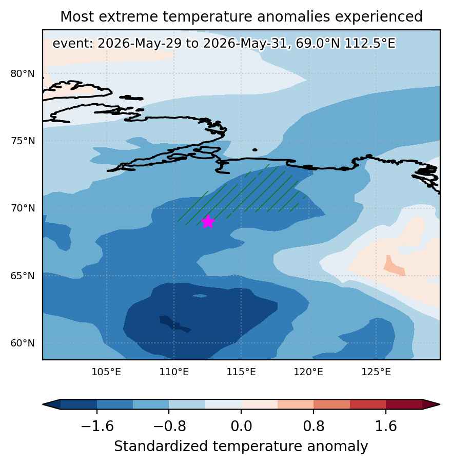
Fig. 1: Map of most extreme temperature anomalies (standardized) experienced during the event. The purple star indicates the center of the extreme event. Green hatching illustrates all areas under the effect of extremes at some time during the event.
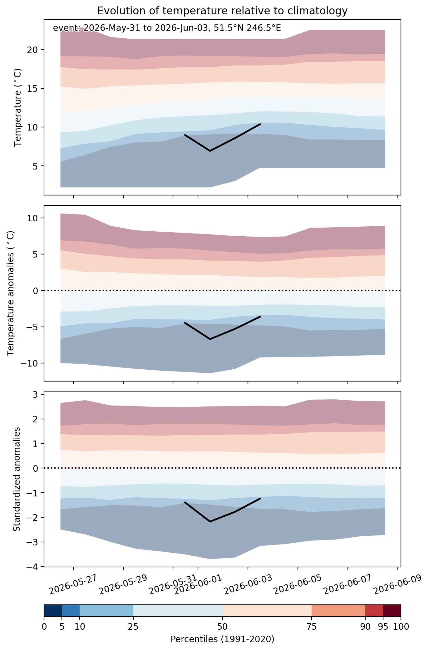


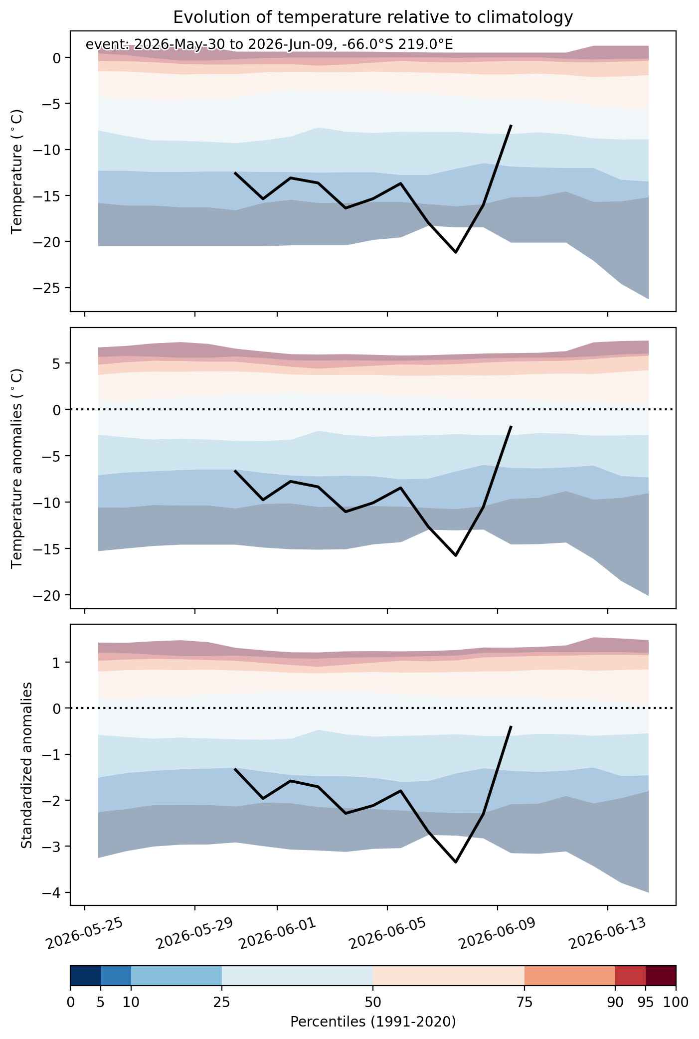
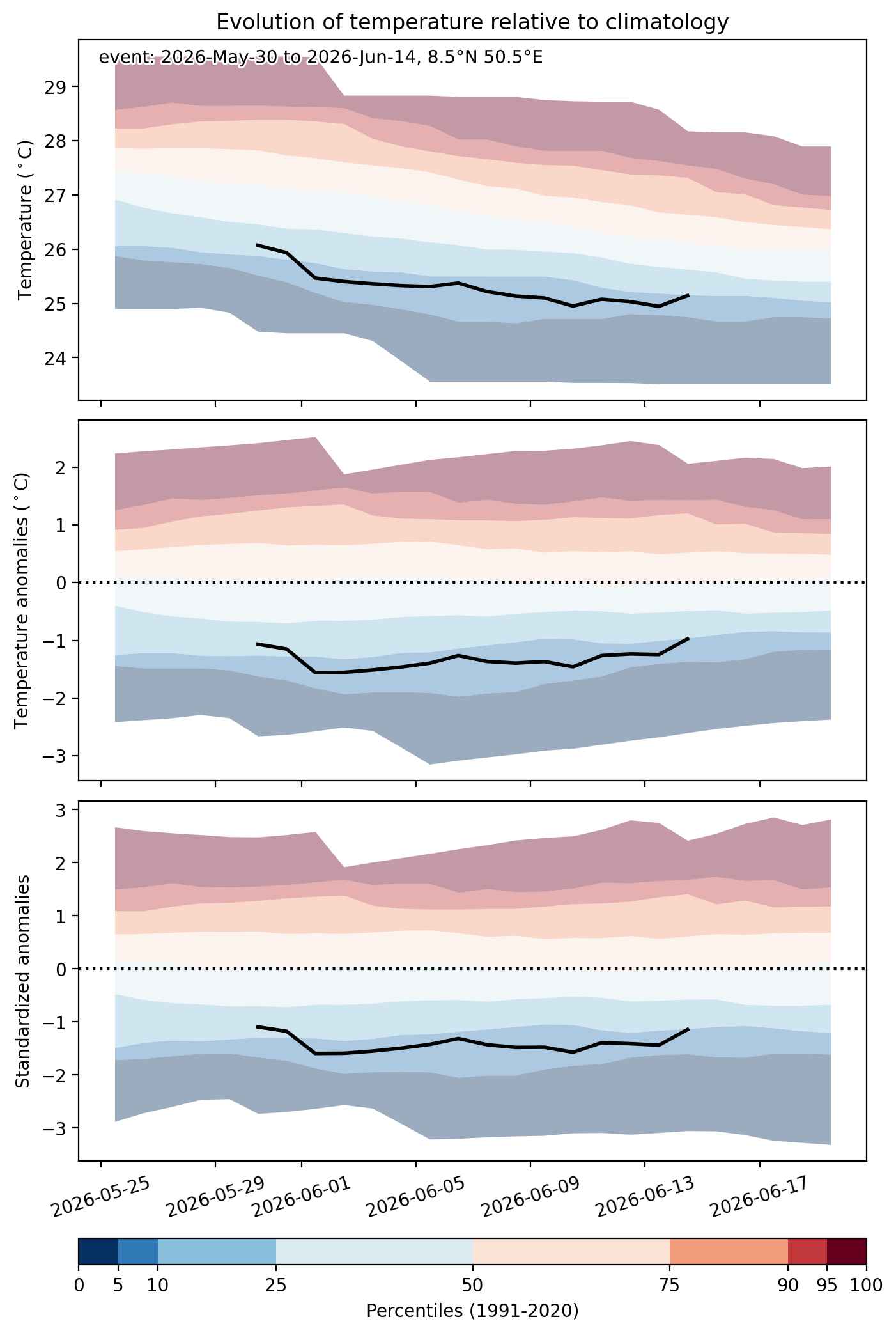
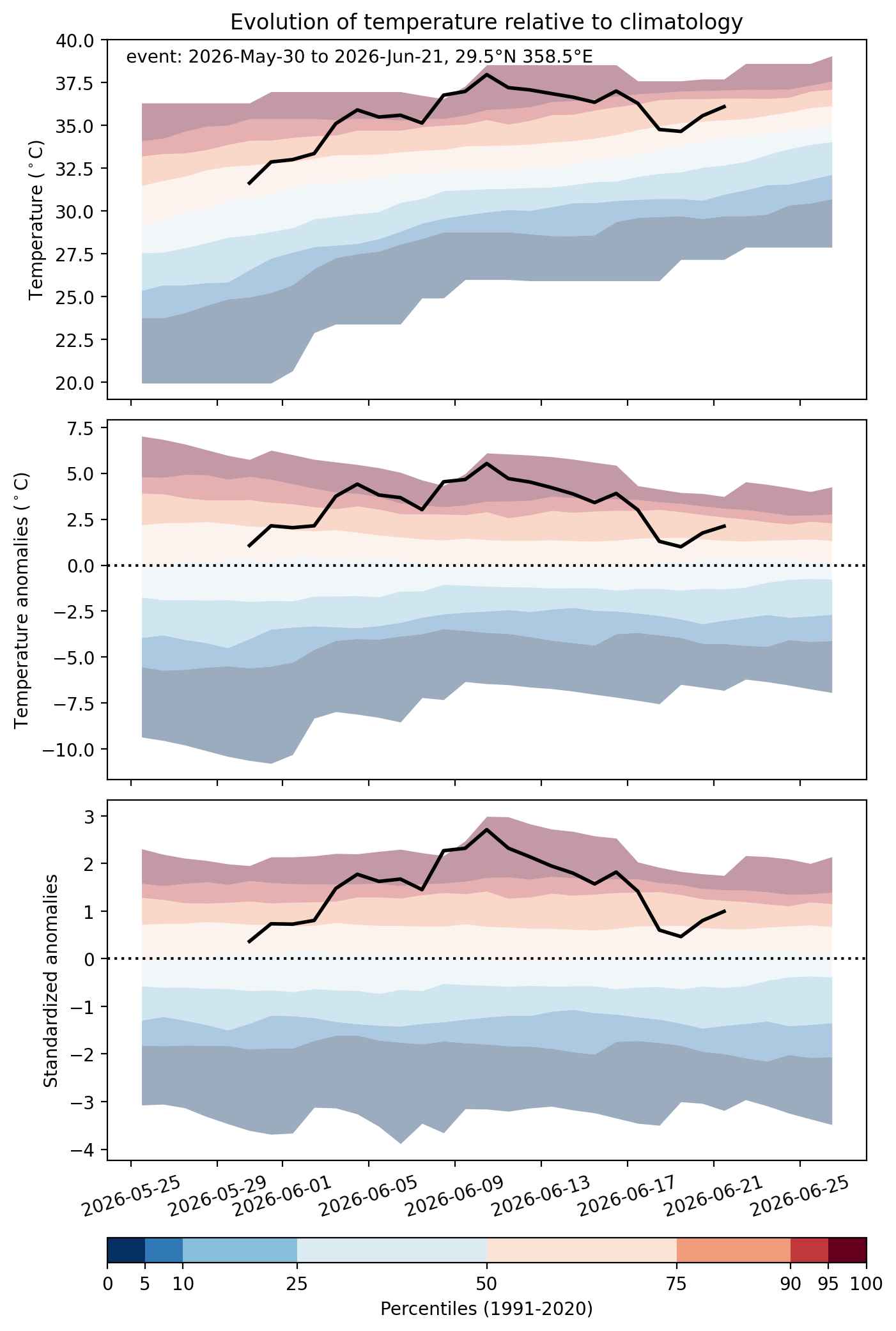
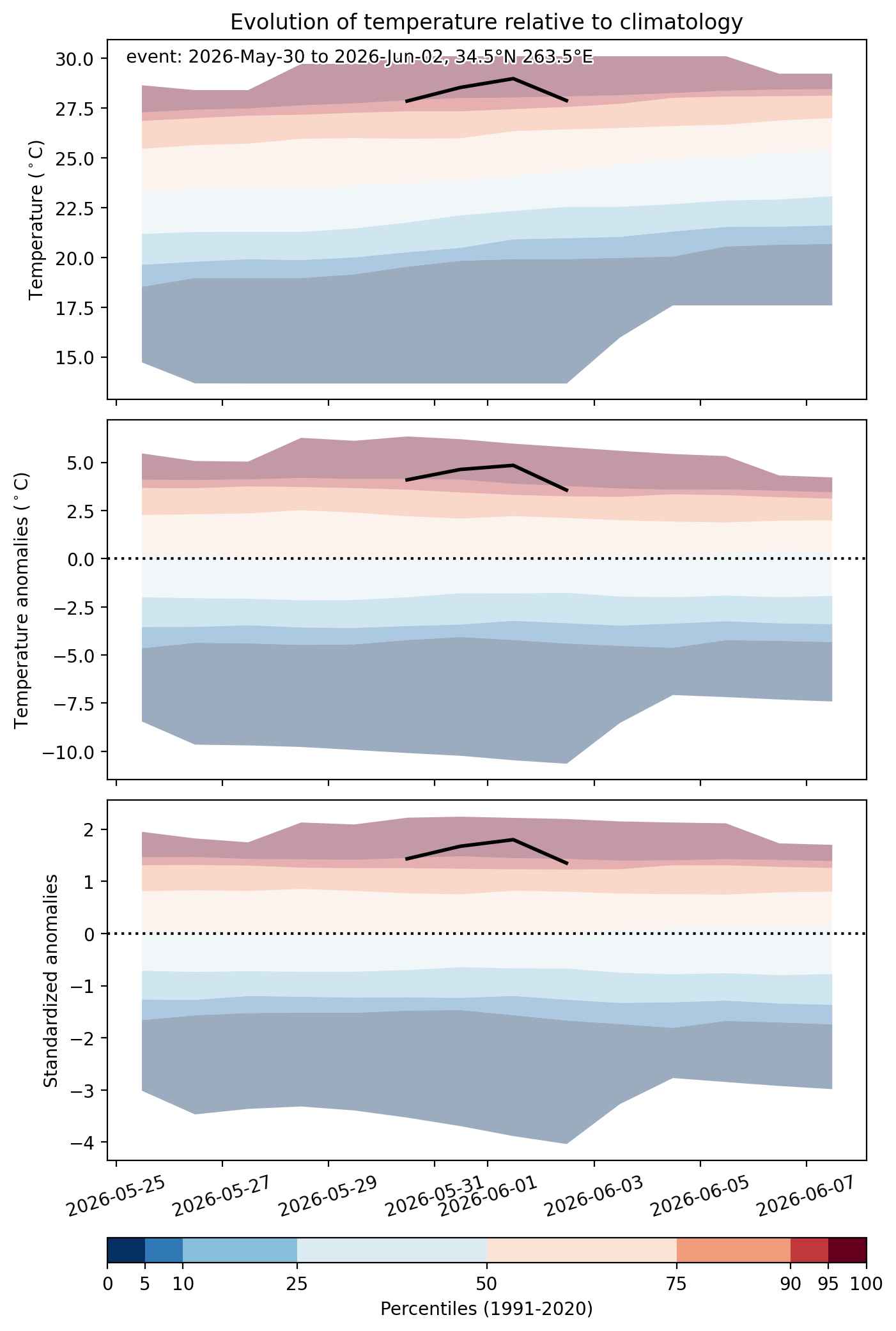
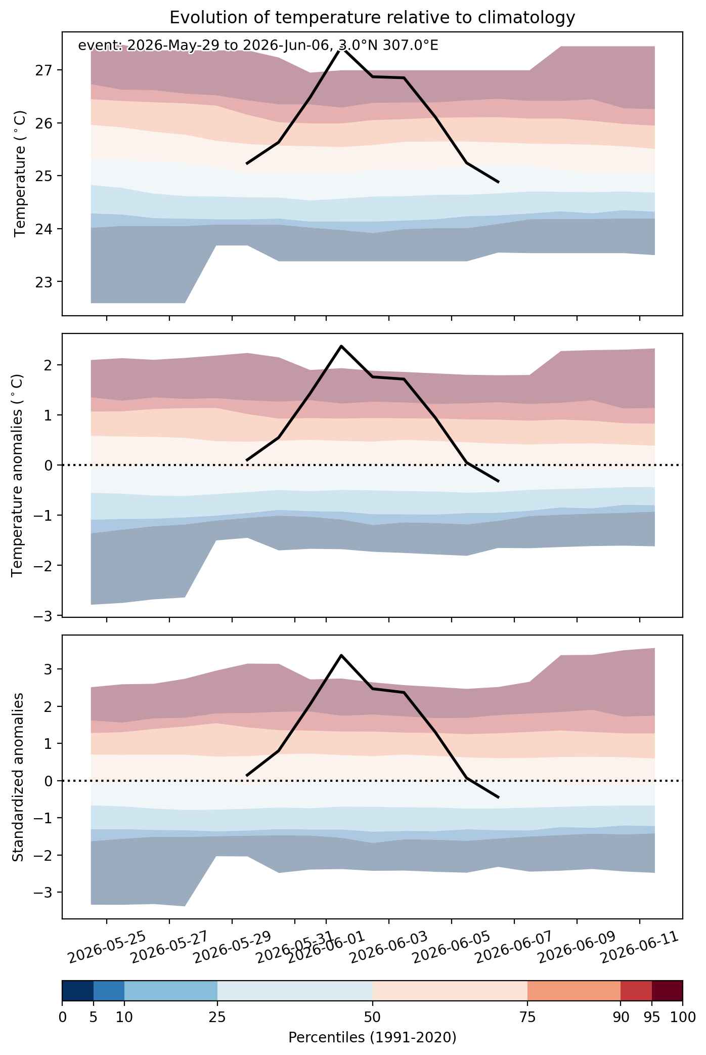
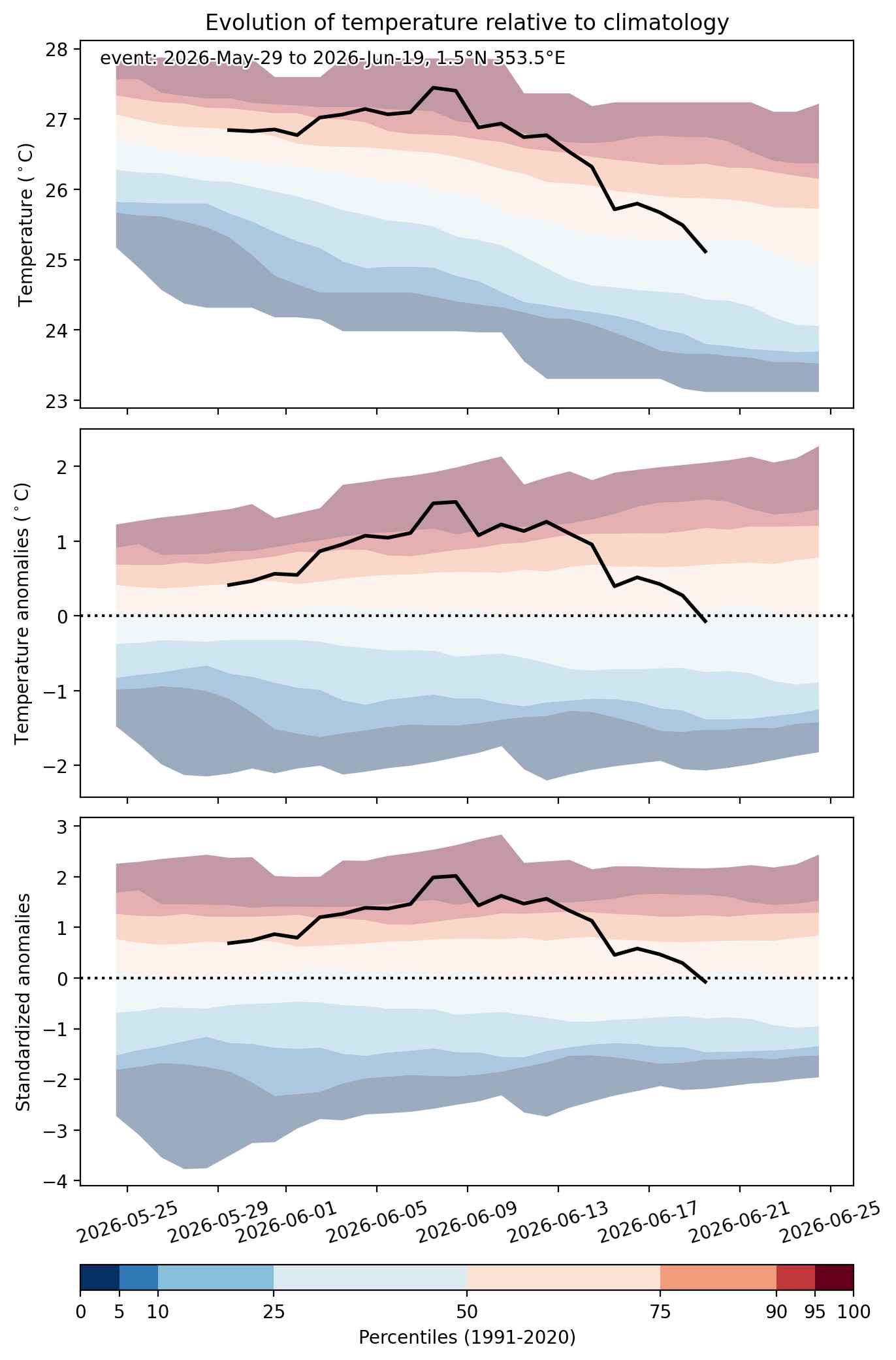
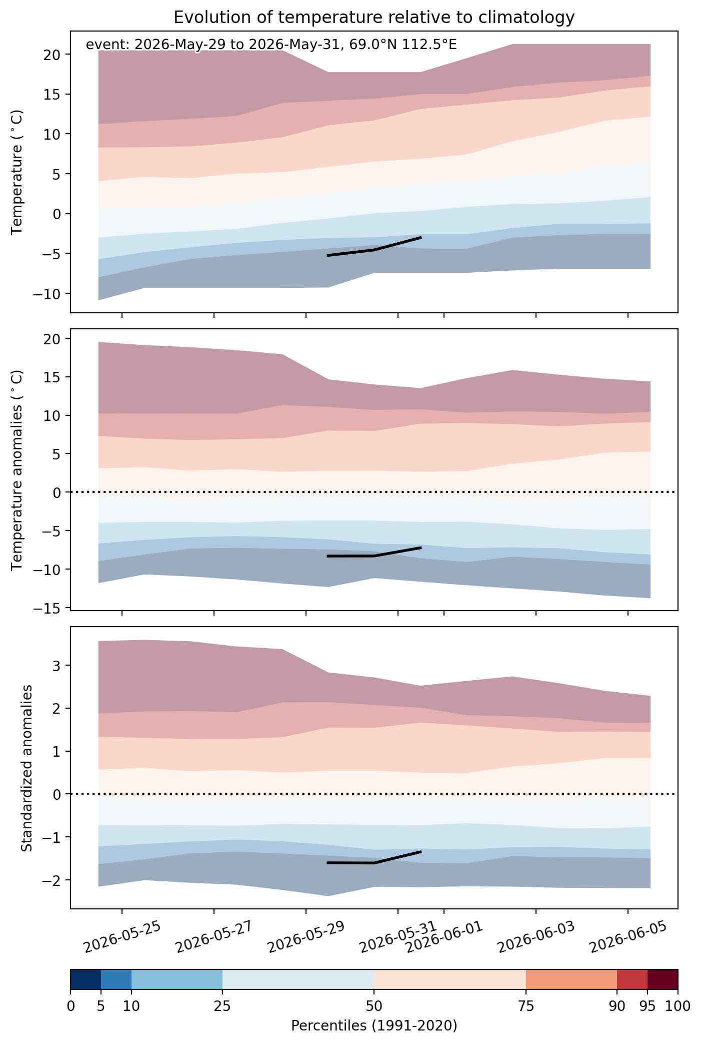
Fig. 2: Evolution of temperature at the center of the event. The climatological percentile distribution is illustrated with color shadings.
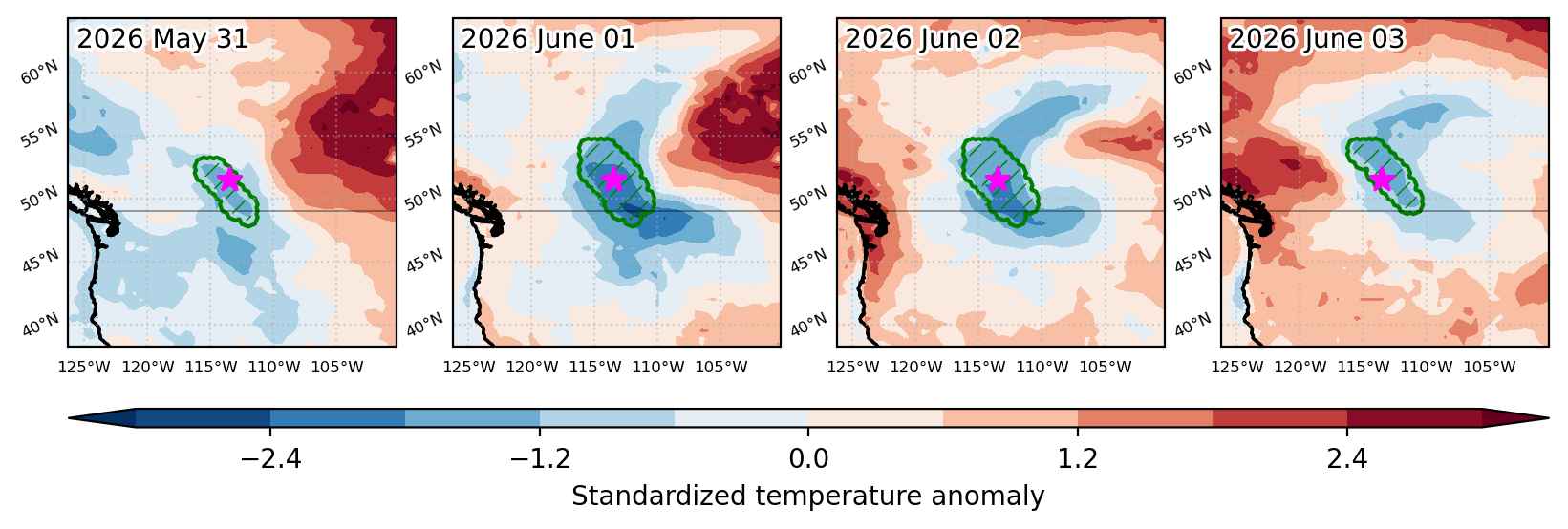


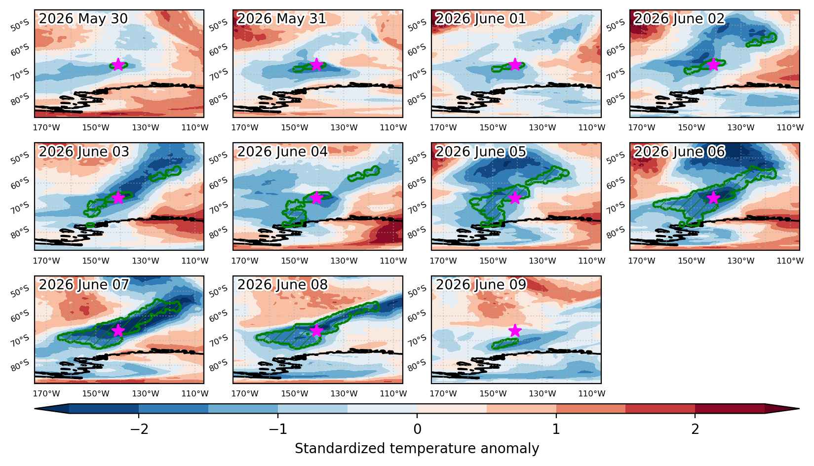
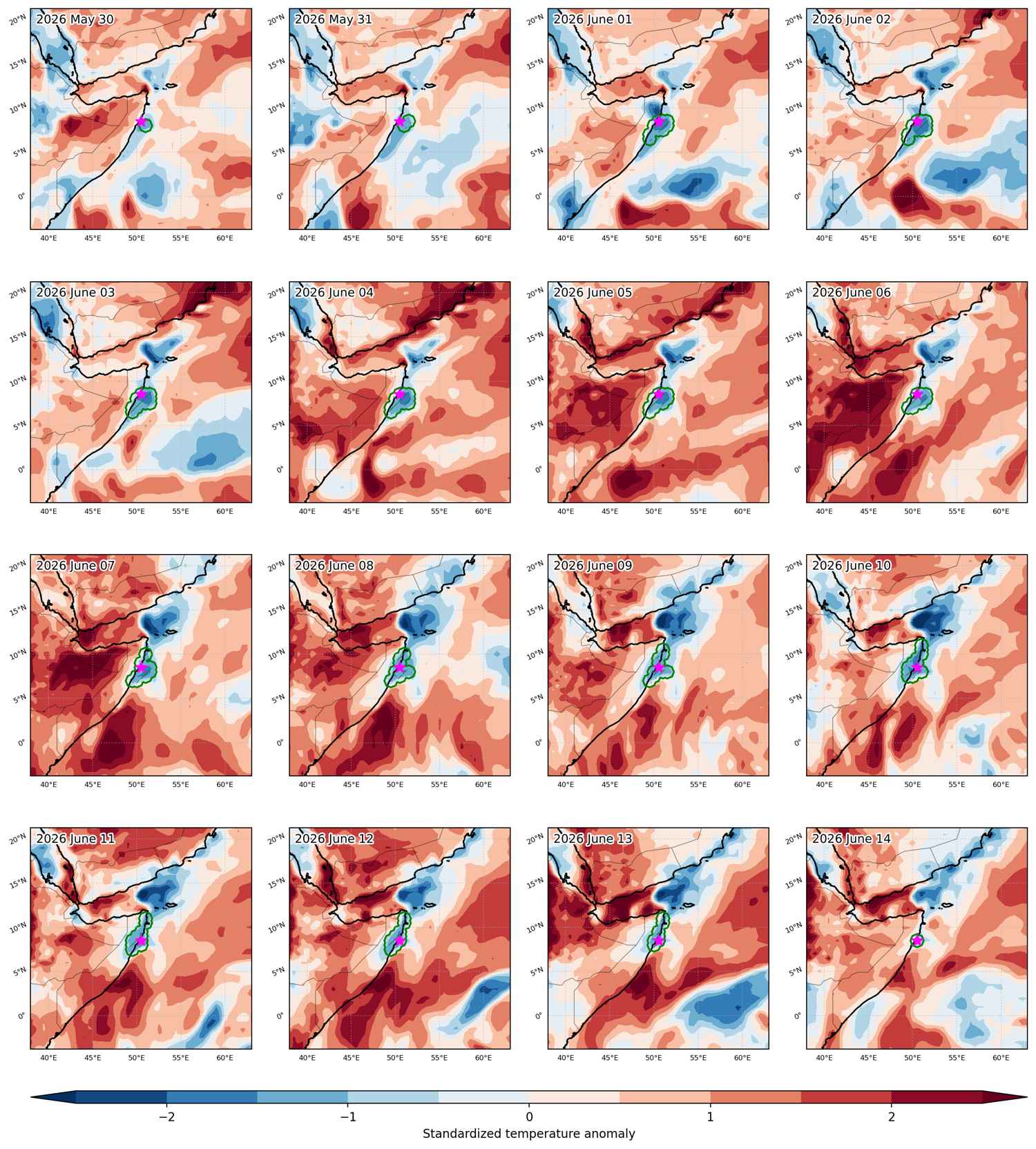
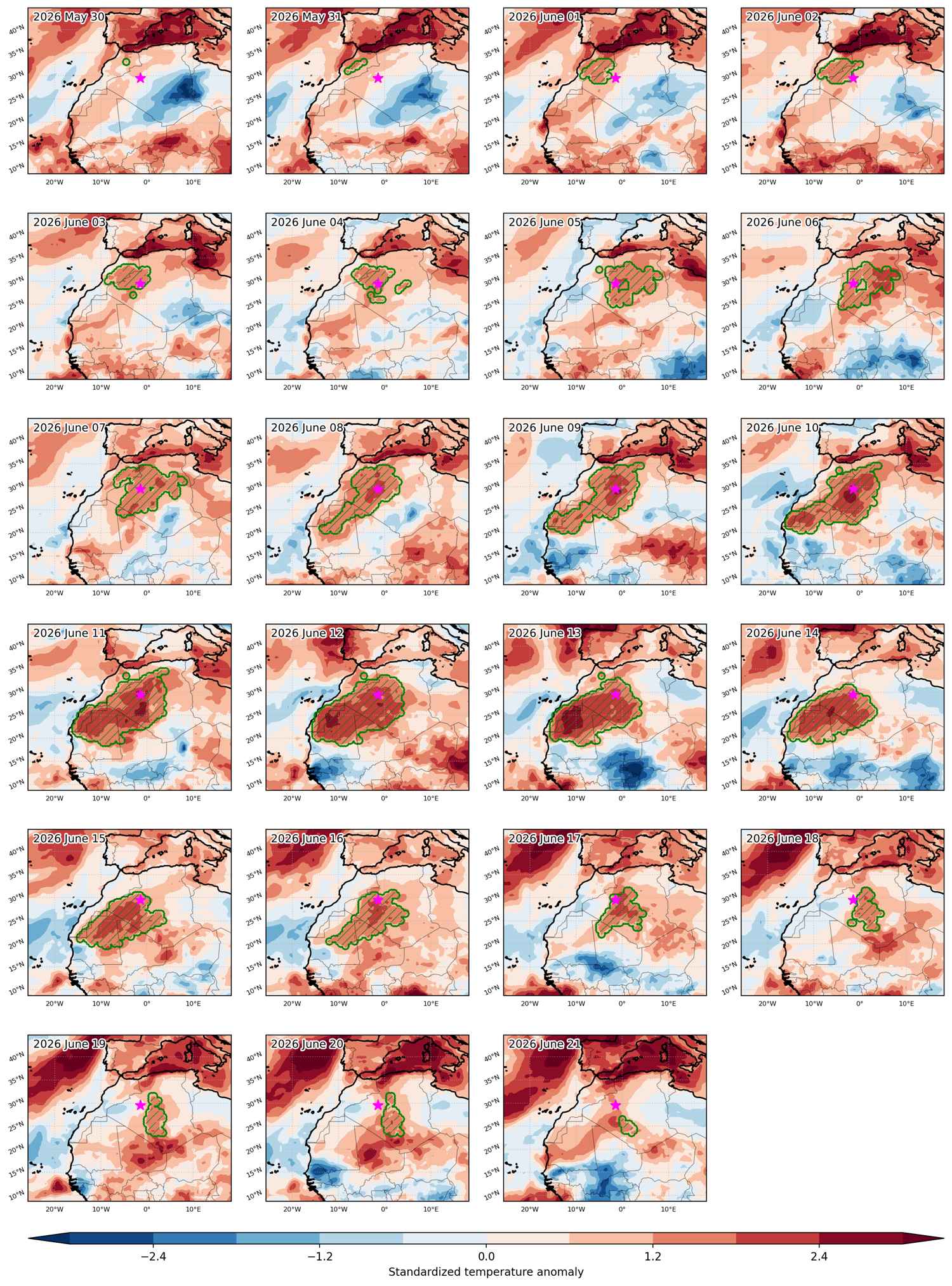
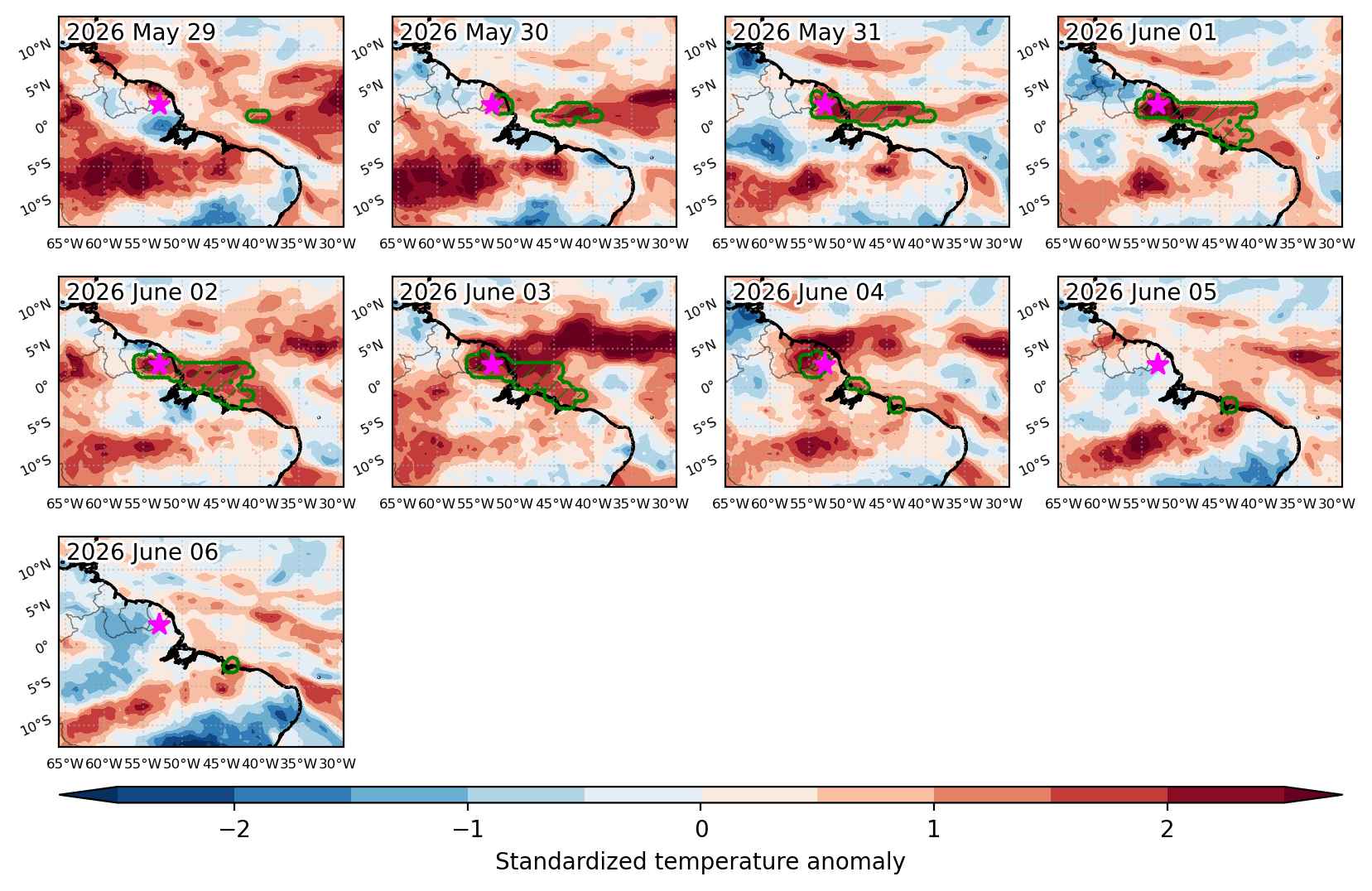
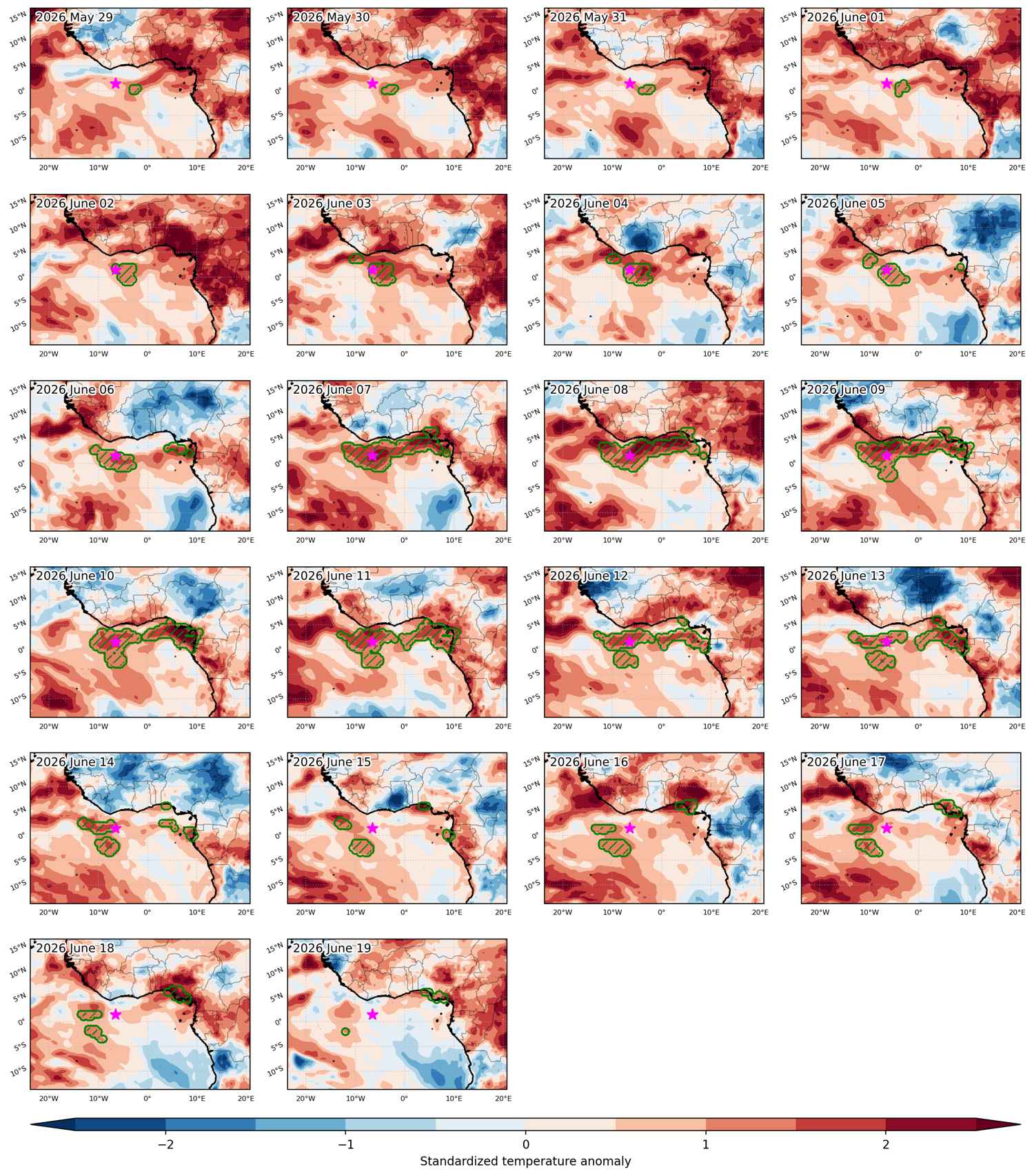
Fig. 3: Maps illustrating the evolution of standardized temperature anomalies during the event.

Event ID: Heat_wave_2026-Jan-21_to_2026-Jan-27_288.5_-12.5

Heat wave occuring from January 21 2026 to January 23 2026 at 27.5°N 31.5°E

Download data: JSON

Event type: Heat wave

Countries affected (identified with ArcGIS Online; provided only for geographical reference):

  • Egypt
  • Sudan

Duration: 3 days

Time span: January 21 2026 to January 23 2026

Statistics over entire affected area:

  • Mean temperature anomaly: 5.3 °C
  • Mean temperature: 19.9 °C
  • Maximum temperature anomaly: 8.5 °C
  • Maximum temperature: 23.9 °C

Event center: 27.5°N 31.5°E

Area affected: 289149 km$^2$


Fig. 1: Map of most extreme temperature anomalies (standardized) experienced during the event. The purple star indicates the center of the extreme event. Green hatching illustrates all areas under the effect of extremes at some time during the event.


Fig. 2: Evolution of temperature at the center of the event. The climatological percentile distribution is illustrated with color shadings.


Fig. 3: Maps illustrating the evolution of standardized temperature anomalies during the event.

Event ID: Heat_wave_2026-Jan-21_to_2026-Jan-23_31.5_27.5

Heat wave occuring from January 20 2026 to January 25 2026 at -13.5°S 50.5°E

Download data: JSON

Event type: Heat wave

Countries affected (identified with ArcGIS Online; provided only for geographical reference):

  • Madagascar

Duration: 6 days

Time span: January 20 2026 to January 25 2026

Statistics over entire affected area:

  • Mean temperature anomaly: 1.4 °C
  • Mean temperature: 28.1 °C
  • Maximum temperature anomaly: 2.2 °C
  • Maximum temperature: 29.1 °C

Event center: -13.5°S 50.5°E

Area affected: 164415 km$^2$


Fig. 1: Map of most extreme temperature anomalies (standardized) experienced during the event. The purple star indicates the center of the extreme event. Green hatching illustrates all areas under the effect of extremes at some time during the event.


Fig. 2: Evolution of temperature at the center of the event. The climatological percentile distribution is illustrated with color shadings.


Fig. 3: Maps illustrating the evolution of standardized temperature anomalies during the event.

Event ID: Heat_wave_2026-Jan-20_to_2026-Jan-25_50.5_-13.5

Heat wave occuring from January 20 2026 to January 23 2026 at -47.0°S 287.0°E

Download data: JSON

Event type: Heat wave

Countries affected (identified with ArcGIS Online; provided only for geographical reference):

  • Chile

Duration: 4 days

Time span: January 20 2026 to January 23 2026

Statistics over entire affected area:

  • Mean temperature anomaly: 3.8 °C
  • Mean temperature: 14.3 °C
  • Maximum temperature anomaly: 6.4 °C
  • Maximum temperature: 17.9 °C

Event center: -47.0°S 287.0°E

Area affected: 72620 km$^2$


Fig. 1: Map of most extreme temperature anomalies (standardized) experienced during the event. The purple star indicates the center of the extreme event. Green hatching illustrates all areas under the effect of extremes at some time during the event.


Fig. 2: Evolution of temperature at the center of the event. The climatological percentile distribution is illustrated with color shadings.


Fig. 3: Maps illustrating the evolution of standardized temperature anomalies during the event.

Event ID: Heat_wave_2026-Jan-20_to_2026-Jan-23_287.0_-47.0

Heat wave occuring from January 20 2026 to January 27 2026 at -54.5°S 319.0°E

Download data: JSON

Event type: Heat wave

Countries affected (identified with ArcGIS Online; provided only for geographical reference):

  • South Georgia and the South Sandwich Islands

Duration: 8 days

Time span: January 20 2026 to January 27 2026

Statistics over entire affected area:

  • Mean temperature anomaly: 1.7 °C
  • Mean temperature: 4.9 °C
  • Maximum temperature anomaly: 5.8 °C
  • Maximum temperature: 10.1 °C

Event center: -54.5°S 319.0°E

Area affected: 530624 km$^2$


Fig. 1: Map of most extreme temperature anomalies (standardized) experienced during the event. The purple star indicates the center of the extreme event. Green hatching illustrates all areas under the effect of extremes at some time during the event.


Fig. 2: Evolution of temperature at the center of the event. The climatological percentile distribution is illustrated with color shadings.


Fig. 3: Maps illustrating the evolution of standardized temperature anomalies during the event.

Event ID: Heat_wave_2026-Jan-20_to_2026-Jan-27_319.0_-54.5

Heat wave occuring from January 18 2026 to January 29 2026 at -8.5°S 143.5°E

Download data: JSON

Event type: Heat wave

Countries affected (identified with ArcGIS Online; provided only for geographical reference):

  • Indonesia
  • Papua New Guinea

Duration: 12 days

Time span: January 18 2026 to January 29 2026

Statistics over entire affected area:

  • Mean temperature anomaly: 1.7 °C
  • Mean temperature: 28.7 °C
  • Maximum temperature anomaly: 3.0 °C
  • Maximum temperature: 29.8 °C

Event center: -8.5°S 143.5°E

Area affected: 159078 km$^2$


Fig. 1: Map of most extreme temperature anomalies (standardized) experienced during the event. The purple star indicates the center of the extreme event. Green hatching illustrates all areas under the effect of extremes at some time during the event.


Fig. 2: Evolution of temperature at the center of the event. The climatological percentile distribution is illustrated with color shadings.


Fig. 3: Maps illustrating the evolution of standardized temperature anomalies during the event.

Event ID: Heat_wave_2026-Jan-18_to_2026-Jan-29_143.5_-8.5

Heat wave occuring from January 18 2026 to January 24 2026 at -4.0°S 281.0°E

Download data: JSON

Event type: Heat wave

Countries affected (identified with ArcGIS Online; provided only for geographical reference):

  • Ecuador
  • Peru

Duration: 7 days

Time span: January 18 2026 to January 24 2026

Statistics over entire affected area:

  • Mean temperature anomaly: 1.5 °C
  • Mean temperature: 18.6 °C
  • Maximum temperature anomaly: 2.3 °C
  • Maximum temperature: 26.4 °C

Event center: -4.0°S 281.0°E

Area affected: 64743 km$^2$


Fig. 1: Map of most extreme temperature anomalies (standardized) experienced during the event. The purple star indicates the center of the extreme event. Green hatching illustrates all areas under the effect of extremes at some time during the event.


Fig. 2: Evolution of temperature at the center of the event. The climatological percentile distribution is illustrated with color shadings.


Fig. 3: Maps illustrating the evolution of standardized temperature anomalies during the event.

Event ID: Heat_wave_2026-Jan-18_to_2026-Jan-24_281.0_-4.0

Heat wave occuring from January 17 2026 to January 23 2026 at -36.5°S 288.5°E

Download data: JSON

Event type: Heat wave

Countries affected (identified with ArcGIS Online; provided only for geographical reference):

  • Argentina
  • Chile

Duration: 7 days

Time span: January 17 2026 to January 23 2026

Statistics over entire affected area:

  • Mean temperature anomaly: 3.6 °C
  • Mean temperature: 18.5 °C
  • Maximum temperature anomaly: 6.1 °C
  • Maximum temperature: 27.1 °C

Event center: -36.5°S 288.5°E

Area affected: 64851 km$^2$


Fig. 1: Map of most extreme temperature anomalies (standardized) experienced during the event. The purple star indicates the center of the extreme event. Green hatching illustrates all areas under the effect of extremes at some time during the event.


Fig. 2: Evolution of temperature at the center of the event. The climatological percentile distribution is illustrated with color shadings.


Fig. 3: Maps illustrating the evolution of standardized temperature anomalies during the event.

Event ID: Heat_wave_2026-Jan-17_to_2026-Jan-23_288.5_-36.5

Heat wave occuring from January 17 2026 to January 25 2026 at 70.5°N 32.0°E

Download data: JSON

Event type: Heat wave

Countries affected (identified with ArcGIS Online; provided only for geographical reference):

  • Norway
  • Russian Federation

Duration: 9 days

Time span: January 17 2026 to January 25 2026

Statistics over entire affected area:

  • Mean temperature anomaly: 4.4 °C
  • Mean temperature: 3.0 °C
  • Maximum temperature anomaly: 9.0 °C
  • Maximum temperature: 5.5 °C

Event center: 70.5°N 32.0°E

Area affected: 260498 km$^2$


Fig. 1: Map of most extreme temperature anomalies (standardized) experienced during the event. The purple star indicates the center of the extreme event. Green hatching illustrates all areas under the effect of extremes at some time during the event.


Fig. 2: Evolution of temperature at the center of the event. The climatological percentile distribution is illustrated with color shadings.


Fig. 3: Maps illustrating the evolution of standardized temperature anomalies during the event.

Event ID: Heat_wave_2026-Jan-17_to_2026-Jan-25_32.0_70.5

Heat wave occuring from January 16 2026 to January 22 2026 at 1.5°N 38.5°E

Download data: JSON

Event type: Heat wave

Countries affected (identified with ArcGIS Online; provided only for geographical reference):

  • Kenya

Duration: 7 days

Time span: January 16 2026 to January 22 2026

Statistics over entire affected area:

  • Mean temperature anomaly: 1.7 °C
  • Mean temperature: 29.0 °C
  • Maximum temperature anomaly: 2.4 °C
  • Maximum temperature: 31.1 °C

Event center: 1.5°N 38.5°E

Area affected: 114327 km$^2$


Fig. 1: Map of most extreme temperature anomalies (standardized) experienced during the event. The purple star indicates the center of the extreme event. Green hatching illustrates all areas under the effect of extremes at some time during the event.


Fig. 2: Evolution of temperature at the center of the event. The climatological percentile distribution is illustrated with color shadings.


Fig. 3: Maps illustrating the evolution of standardized temperature anomalies during the event.

Event ID: Heat_wave_2026-Jan-16_to_2026-Jan-22_38.5_1.5